Premium Badge Download on the App Store Get it on Google Play Turn-by-turn Navigation Offline Maps Bike Type Optimized Routing Premium Maps Custom Bike Computer Export Routes Route Previews Fall Detection Premium Support

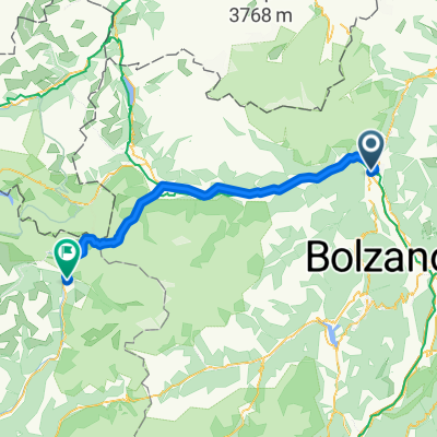
Cycling Route in Marling, Trentino-Alto Adige, Italy

Meran - Ultental

2
Open this route in the Bikemap app

Open this route in the Bikemap app

Open this route in Bikemap Web

Open this route in Bikemap Web

89 km
Distance
2627 m
Ascent
2629 m
Descent
-:-- h
Duration
-- km/h
Avg. Speed
--- m
Max. Elevation

About This Route

nach Tour-Magazin 2011-09:

Nach dem Einrollen auf dem Etsch-Radweg wartet der Gampenpass (1.518 Meter) mit gleichmäßigen 6 bis 8 Prozent Steigung. Aber die Prüfung kommt noch, in Form des recht unbekannten Brezer Jochs. Seine 1.397 Meter entlocken vielleicht ein müdes Lächeln, das einem aber an den vielen bis 16 Prozent steilen Rampen schnell vergeht. Zu guter Letzt wartet ein Anstieg zu einem beleuchteten Tunnel auf 1.700 Meter Höhe, der einen bergab im einsamen Ultental wieder ausspuckt.

This cycling route is ideal for: Road bike

You will cycle on the following surfaces: Paved

Customize this cycling route with the Bikemap route planner.

Make it yours!

Did you know? You can use this route as a template in our cycling route planner if you don't wish to start from scratch. Customize it based on your needs to plan your perfect cycling tour.

Open it in the app