

Iggelheimer Weg 19, Ludwigshafen am Rhein nach Zweibrücken
A cycling route starting in Fußgönheim, Rhineland-Palatinate, Germany.
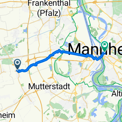
Overview
About this route
- 8 h 20 min
- Duration
- 117.1 km
- Distance
- 1,571 m
- Ascent
- 1,439 m
- Descent
- 14.1 km/h
- Avg. speed
- 408 m
- Avg. speed

Route quality
Waytypes & surfaces along the route
Waytypes
Quiet road
28 km
(24 %)
Track
23.3 km
(20 %)
Surfaces
Paved
98.2 km
(84 %)
Unpaved
0.3 km
(<1 %)
Asphalt
83.5 km
(71 %)
Paved (undefined)
8.7 km
(7 %)
Continue with Bikemap
Use, edit, or download this cycling route
You would like to ride Iggelheimer Weg 19, Ludwigshafen am Rhein nach Zweibrücken or customize it for your own trip? Here is what you can do with this Bikemap route:
Free features
- Save this route as favorite or in collections
- Copy & plan your own version of this route
- Sync your route with Garmin or Wahoo
Premium features
Free trial for 3 days, or one-time payment. More about Bikemap Premium.
- Navigate this route on iOS & Android
- Export a GPX / KML file of this route
- Create your custom printout (try it for free)
- Download this route for offline navigation
Discover more Premium features.
Get Bikemap PremiumFrom our community
Other popular routes starting in Fußgönheim
 Pfeil Permanente 2016 - 76 km Perm. des RTC Pfeil Ludwigshafen
- Distance
- 76.4 km
- Ascent
- 271 m
- Descent
- 274 m
- Location
- Fußgönheim, Rhineland-Palatinate, Germany
 Im Versuchsfeld 2, Fußgönheim nach D1 5/1, Mannheim
- Distance
- 15.9 km
- Ascent
- 38 m
- Descent
- 34 m
- Location
- Fußgönheim, Rhineland-Palatinate, Germany
 Raiffeisenstraße 5, Fußgönheim nach Seligmannsgasse 11, Weisenheim am Sand
- Distance
- 8.3 km
- Ascent
- 138 m
- Descent
- 131 m
- Location
- Fußgönheim, Rhineland-Palatinate, Germany
 Iggelheimer Weg 19, Ludwigshafen am Rhein nach Zweibrücken
- Distance
- 98.7 km
- Ascent
- 1,216 m
- Descent
- 1,086 m
- Location
- Fußgönheim, Rhineland-Palatinate, Germany
 Bad Dürkheim über Ellerstatt
- Distance
- 23.9 km
- Ascent
- 40 m
- Descent
- 41 m
- Location
- Fußgönheim, Rhineland-Palatinate, Germany
 Walldorf - Maxdorf fahrrad Kalker
- Distance
- 46.5 km
- Ascent
- 70 m
- Descent
- 61 m
- Location
- Fußgönheim, Rhineland-Palatinate, Germany
 Dürkheim,Mussbach,Böhl 65 km
- Distance
- 63.6 km
- Ascent
- 98 m
- Descent
- 97 m
- Location
- Fußgönheim, Rhineland-Palatinate, Germany
 Bolander Weg 6, Fußgönheim nach Im Steigert, Böhl-Iggelheim
- Distance
- 13.5 km
- Ascent
- 26 m
- Descent
- 23 m
- Location
- Fußgönheim, Rhineland-Palatinate, Germany
Open it in the app