
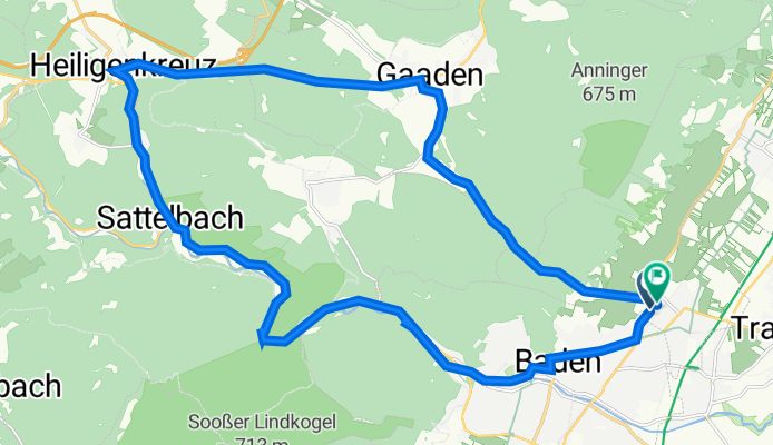
Franz Josef-Straße 16, Pfaffstätten to Franz Josef-Straße 27, Pfaffstätten
A cycling route starting in Pfaffstätten, Lower Austria, Austria.
Overview
About this route
- 1 h 16 min
- Duration
- 29.1 km
- Distance
- 282 m
- Ascent
- 301 m
- Descent
- 23.1 km/h
- Avg. speed
- 415 m
- Avg. speed

Route quality
Waytypes & surfaces along the route
Waytypes
Cycleway
10.2 km
(35 %)
Road
7.9 km
(27 %)
Surfaces
Paved
23 km
(79 %)
Unpaved
0.2 km
(<1 %)
Asphalt
21.4 km
(74 %)
Paved (undefined)
0.8 km
(3 %)
Continue with Bikemap
Use, edit, or download this cycling route
You would like to ride Franz Josef-Straße 16, Pfaffstätten to Franz Josef-Straße 27, Pfaffstätten or customize it for your own trip? Here is what you can do with this Bikemap route:
Free features
- Save this route as favorite or in collections
- Copy & plan your own version of this route
- Sync your route with Garmin or Wahoo
Premium features
Free trial for 3 days, or one-time payment. More about Bikemap Premium.
- Navigate this route on iOS & Android
- Export a GPX / KML file of this route
- Create your custom printout (try it for free)
- Download this route for offline navigation
Discover more Premium features.
Get Bikemap PremiumFrom our community
Other popular routes starting in Pfaffstätten
 Baden-Siegenfeld-Krammel Mostheuriger-Baden
- Distance
- 18.9 km
- Ascent
- 425 m
- Descent
- 424 m
- Location
- Pfaffstätten, Lower Austria, Austria
 Baden Wien/Donauinsel - Baden
- Distance
- 75.6 km
- Ascent
- 195 m
- Descent
- 216 m
- Location
- Pfaffstätten, Lower Austria, Austria
 in's St. Pöltener Vorland
- Distance
- 110.4 km
- Ascent
- 1,126 m
- Descent
- 1,126 m
- Location
- Pfaffstätten, Lower Austria, Austria
 Wienerwald Klausen Hochrotherd
- Distance
- 100.7 km
- Ascent
- 792 m
- Descent
- 792 m
- Location
- Pfaffstätten, Lower Austria, Austria
 Baden–Mariazell–Bruck/Mur, Alternative
- Distance
- 174.9 km
- Ascent
- 2,271 m
- Descent
- 2,001 m
- Location
- Pfaffstätten, Lower Austria, Austria
 Baden Eisernes Tor Hoher Lindkogel
- Distance
- 30.3 km
- Ascent
- 690 m
- Descent
- 681 m
- Location
- Pfaffstätten, Lower Austria, Austria
 Pfaffstätten-Gaaden-Mödling-Pfaffstätten
- Distance
- 27.5 km
- Ascent
- 275 m
- Descent
- 275 m
- Location
- Pfaffstätten, Lower Austria, Austria
 ANNINGER
- Distance
- 21.4 km
- Ascent
- 321 m
- Descent
- 321 m
- Location
- Pfaffstätten, Lower Austria, Austria
Open it in the app