

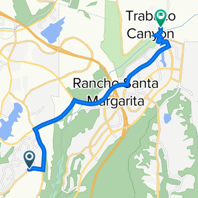
26111 Antonio Pkwy, Rancho Santa Margarita a 26111 Antonio Pkwy, Rancho Santa Margarita
A cycling route starting in Las Flores, California, United States of America.
Overview
About this route
- 1 h 21 min
- Duration
- 14.1 km
- Distance
- 236 m
- Ascent
- 235 m
- Descent
- 10.4 km/h
- Avg. speed
- 216 m
- Avg. speed

Route quality
Waytypes & surfaces along the route
Waytypes
Undefined
14.1 km
(100 %)
Surfaces
Undefined
14.1 km
(100 %)
Continue with Bikemap
Use, edit, or download this cycling route
You would like to ride 26111 Antonio Pkwy, Rancho Santa Margarita a 26111 Antonio Pkwy, Rancho Santa Margarita or customize it for your own trip? Here is what you can do with this Bikemap route:
Free features
- Save this route as favorite or in collections
- Copy & plan your own version of this route
- Sync your route with Garmin or Wahoo
Premium features
Free trial for 3 days, or one-time payment. More about Bikemap Premium.
- Navigate this route on iOS & Android
- Export a GPX / KML file of this route
- Create your custom printout (try it for free)
- Download this route for offline navigation
Discover more Premium features.
Get Bikemap PremiumFrom our community
Other popular routes starting in Las Flores
 BIG CYCLE
- Distance
- 88 km
- Ascent
- 796 m
- Descent
- 823 m
- Location
- Las Flores, California, United States of America
 Oso Pkwy, Mission Viejo to I-5 N, Fallbrook
- Distance
- 34.3 km
- Ascent
- 543 m
- Descent
- 682 m
- Location
- Las Flores, California, United States of America
 16 Harveston, Mission Viejo to 16 Harveston, Mission Viejo
- Distance
- 25.6 km
- Ascent
- 611 m
- Descent
- 611 m
- Location
- Las Flores, California, United States of America
 Jeronimo Rd, Mission Viejo to 31252 Mountain View Rd, Trabuco Canyon
- Distance
- 9.4 km
- Ascent
- 240 m
- Descent
- 130 m
- Location
- Las Flores, California, United States of America
 Route from Olympiad Rd, Mission Viejo
- Distance
- 0.3 km
- Ascent
- 3 m
- Descent
- 16 m
- Location
- Las Flores, California, United States of America
 Oso Creek Trail
- Distance
- 4 km
- Ascent
- 0 m
- Descent
- 100 m
- Location
- Las Flores, California, United States of America
 Olympiad Rd, Mission Viejo to 26601 Saddleback Dr, Mission Viejo
- Distance
- 8.5 km
- Ascent
- 104 m
- Descent
- 187 m
- Location
- Las Flores, California, United States of America
 Tijeras Creek Golf Club, Rancho Santa Margarita to 9 Serene Canyon Rd, Rancho Santa Margarita
- Distance
- 6 km
- Ascent
- 125 m
- Descent
- 27 m
- Location
- Las Flores, California, United States of America