Premium Badge Download on the App Store Get it on Google Play Turn-by-turn Navigation Offline Maps Bike Type Optimized Routing Premium Maps Custom Bike Computer Export Routes Route Previews Fall Detection Premium Support

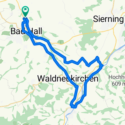
Cycling Route in Bad Hall, Upper Austria, Austria

Bad Hall - Steyrtal - Kremstal - Bad Hall

1
Open this route in the Bikemap app

Open this route in the Bikemap app

Open this route in Bikemap Web

Open this route in Bikemap Web

72 km
Distance
558 m
Ascent
592 m
Descent
-:-- h
Duration
-- km/h
Avg. Speed
494 m
Max. Elevation

About This Route

Die Strecke führt immer an auf Radwegen bzw. ruhigen Nebenstraßen. Bei den Radwegen trifft man hier auf den R 8 (Steyrtalradweg) der landschaftlich einmalig und meistens fernab des normalen Straßenverkehrs führt, sowie auf den R10 (Kremstalradweg).

Direkt an der Straße fährt man nur die letzten 4km zwischen Rohr und Bad Hall!!


Für diese Route sollte man nicht völlig untrainiert sein, da man immer wiedermal mit kleinen Steigungen rechnen muß!

This cycling route is ideal for: Road bike MTB

You will cycle on the following surfaces: Paved Gravel

Customize this cycling route with the Bikemap route planner.

Make it yours!

Did you know? You can use this route as a template in our cycling route planner if you don't wish to start from scratch. Customize it based on your needs to plan your perfect cycling tour.

Open it in the app