
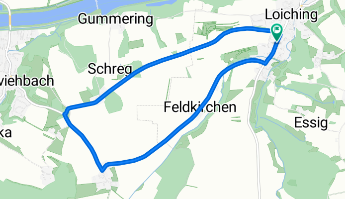
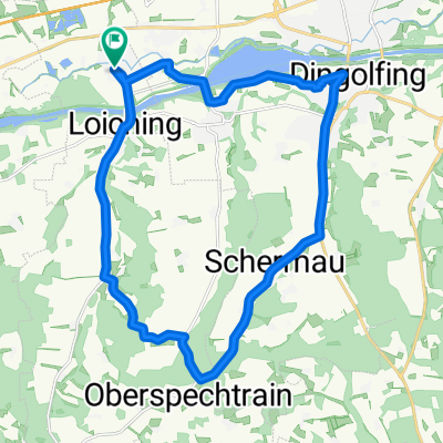
Kirta- Radrennen 2011
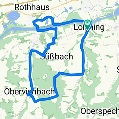
A cycling route starting in Loiching, Bavaria, Germany.
Overview
About this route
Runde beim Kirta Radrennen des RSV Dingolfing am 15.10.2011.
- -:--
- Duration
- 6.9 km
- Distance
- 91 m
- Ascent
- 93 m
- Descent
- ---
- Avg. speed
- ---
- Avg. speed

Route quality
Waytypes & surfaces along the route
Waytypes
Quiet road
3.6 km
(52 %)
Road
3.3 km
(48 %)
Undefined
-0 km
(<1 %)
Surfaces
Paved
6.9 km
(100 %)
Asphalt
6.9 km
(100 %)
Continue with Bikemap
Use, edit, or download this cycling route
You would like to ride Kirta- Radrennen 2011 or customize it for your own trip? Here is what you can do with this Bikemap route:
Free features
- Save this route as favorite or in collections
- Copy & plan your own version of this route
- Sync your route with Garmin or Wahoo
Premium features
Free trial for 3 days, or one-time payment. More about Bikemap Premium.
- Navigate this route on iOS & Android
- Export a GPX / KML file of this route
- Create your custom printout (try it for free)
- Download this route for offline navigation
Discover more Premium features.
Get Bikemap PremiumFrom our community
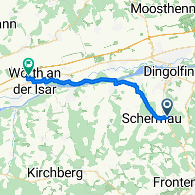
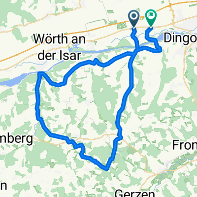
Other popular routes starting in Loiching
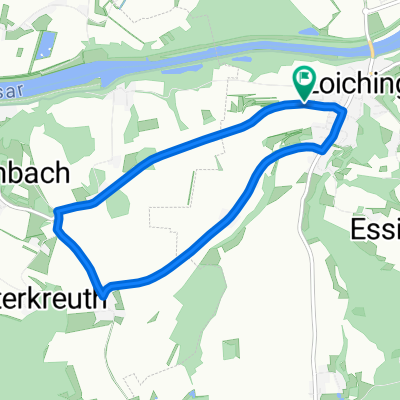 Dingolfing - Kirta-Radrennen
- Distance
- 6.8 km
- Ascent
- 154 m
- Descent
- 154 m
- Location
- Loiching, Bavaria, Germany
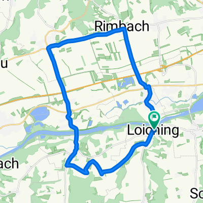 Rundfahrt Loiching
- Distance
- 20.7 km
- Ascent
- 122 m
- Descent
- 125 m
- Location
- Loiching, Bavaria, Germany
 Route im Schneckentempo in Moosthenning
- Distance
- 7.3 km
- Ascent
- 51 m
- Descent
- 47 m
- Location
- Loiching, Bavaria, Germany
 Kronwieden über Weigendorf, Schermau, Dingolfing und zurück
- Distance
- 22.3 km
- Ascent
- 194 m
- Descent
- 196 m
- Location
- Loiching, Bavaria, Germany
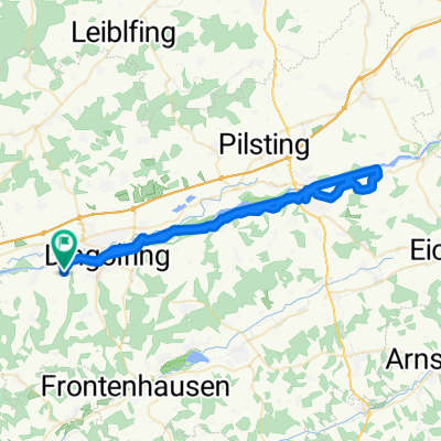 dgf - landau
- Distance
- 56.2 km
- Ascent
- 275 m
- Descent
- 275 m
- Location
- Loiching, Bavaria, Germany
 Praca
Praca- Distance
- 15.4 km
- Ascent
- 124 m
- Descent
- 165 m
- Location
- Loiching, Bavaria, Germany
 Dingolfing- Oberwolkersdorf - Niederaichbach - Schlott
- Distance
- 42.3 km
- Ascent
- 464 m
- Descent
- 436 m
- Location
- Loiching, Bavaria, Germany
 Loiching 2
- Distance
- 22.7 km
- Ascent
- 225 m
- Descent
- 243 m
- Location
- Loiching, Bavaria, Germany
Open it in the app