

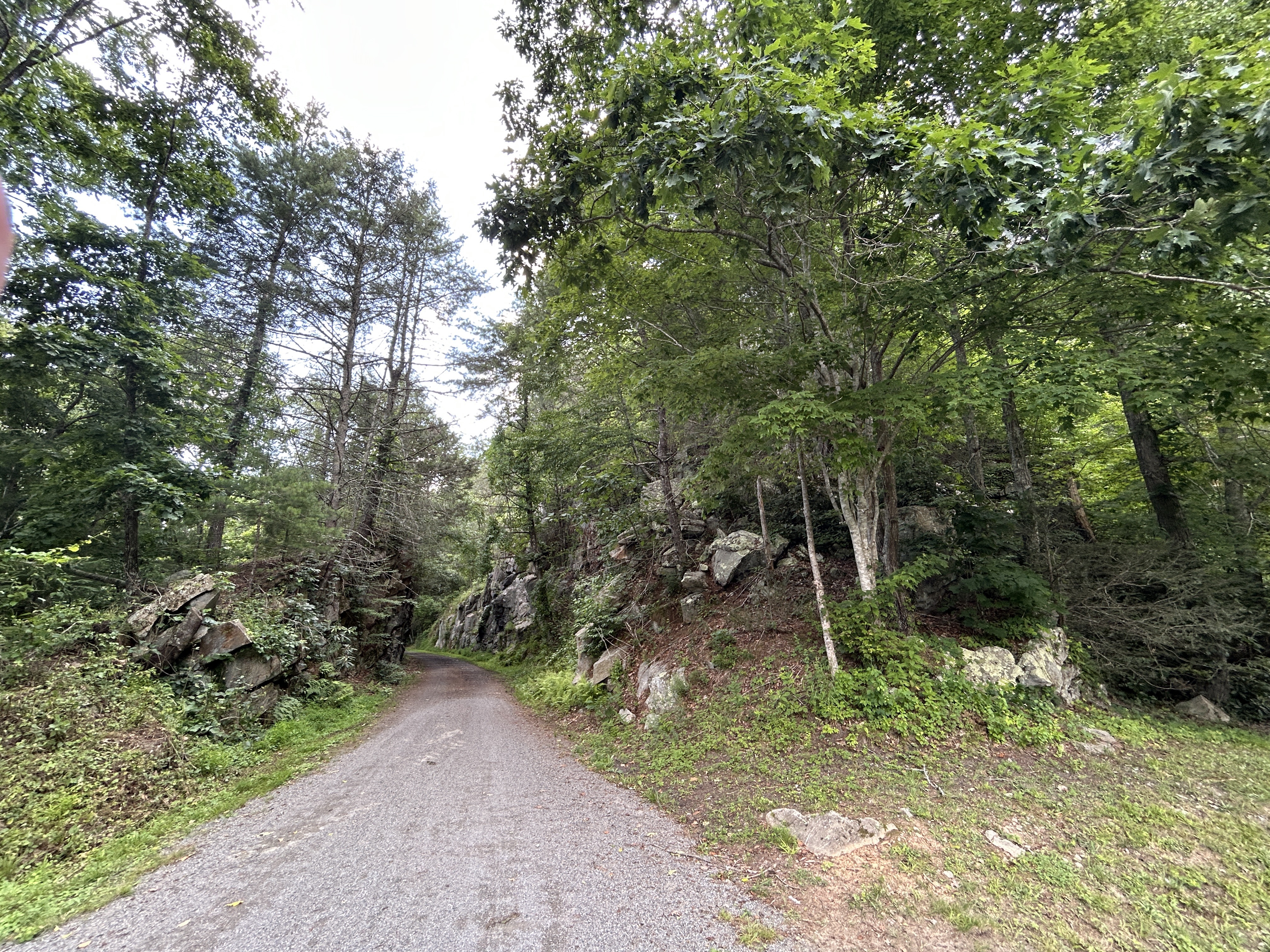
New River State Park Trail, Fries to 400 Orphanage Dr, Max Meadows
A cycling route starting in Galax, Virginia, United States of America.
Overview
About this route
- 1 h 46 min
- Duration
- 25.3 km
- Distance
- 391 m
- Ascent
- 467 m
- Descent
- 14.3 km/h
- Avg. speed
- 688 m
- Avg. speed
Route quality
Waytypes & surfaces along the route
Waytypes
Cycleway
25.2 km
(100 %)
Access road
0.1 km
(<1 %)
Surfaces
Paved
0.5 km
(2 %)
Unpaved
10.6 km
(42 %)
Unpaved (undefined)
10.6 km
(42 %)
Paved (undefined)
0.5 km
(2 %)
Undefined
14.3 km
(56 %)
Continue with Bikemap
Use, edit, or download this cycling route
You would like to ride New River State Park Trail, Fries to 400 Orphanage Dr, Max Meadows or customize it for your own trip? Here is what you can do with this Bikemap route:
Free features
- Save this route as favorite or in collections
- Copy & plan your own version of this route
- Sync your route with Garmin or Wahoo
Premium features
Free trial for 3 days, or one-time payment. More about Bikemap Premium.
- Navigate this route on iOS & Android
- Export a GPX / KML file of this route
- Create your custom printout (try it for free)
- Download this route for offline navigation
Discover more Premium features.
Get Bikemap PremiumFrom our community
Other popular routes starting in Galax
 New River State Park Trail, Fries to 400 Orphanage Dr, Max Meadows
- Distance
- 25.3 km
- Ascent
- 391 m
- Descent
- 467 m
- Location
- Galax, Virginia, United States of America
 Galax - Blue Ridge Parkway - Boone 135 km
- Distance
- 134.7 km
- Ascent
- 1,414 m
- Descent
- 1,144 m
- Location
- Galax, Virginia, United States of America
 36.664, -80.922 to 36.768, -80.955
- Distance
- 29.3 km
- Ascent
- 598 m
- Descent
- 680 m
- Location
- Galax, Virginia, United States of America
 Galax/Fries/Independence
- Distance
- 75.3 km
- Ascent
- 730 m
- Descent
- 727 m
- Location
- Galax, Virginia, United States of America
 New River Trail Galax, VA
- Distance
- 85.3 km
- Ascent
- 224 m
- Descent
- 349 m
- Location
- Galax, Virginia, United States of America
 New River State Park Trail, Fries to New River Trail, Max Meadows
- Distance
- 24 km
- Ascent
- 387 m
- Descent
- 452 m
- Location
- Galax, Virginia, United States of America
 trail cams 4/30/23
- Distance
- 0.8 km
- Ascent
- 12 m
- Descent
- 8 m
- Location
- Galax, Virginia, United States of America
 route 12.31.22
- Distance
- 1.2 km
- Ascent
- 0 m
- Descent
- 49 m
- Location
- Galax, Virginia, United States of America
Open it in the app