
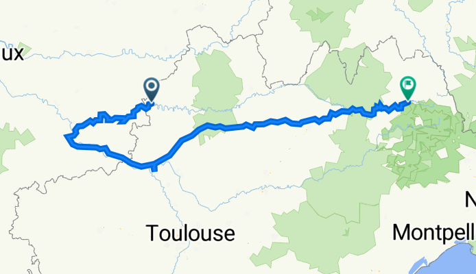
duravel _mende
A cycling route starting in Montayral, Aquitaine-Limousin-Poitou-Charentes, France.
Overview
About this route
- -:--
- Duration
- 457.1 km
- Distance
- 4,118 m
- Ascent
- 3,463 m
- Descent
- ---
- Avg. speed
- 780 m
- Avg. speed

Route quality
Waytypes & surfaces along the route
Waytypes
Road
142.9 km
(31 %)
Quiet road
123.1 km
(27 %)
Surfaces
Paved
234.8 km
(51 %)
Unpaved
19.4 km
(4 %)
Asphalt
188.8 km
(41 %)
Paved (undefined)
46 km
(10 %)
Continue with Bikemap
Use, edit, or download this cycling route
You would like to ride duravel _mende or customize it for your own trip? Here is what you can do with this Bikemap route:
Free features
- Save this route as favorite or in collections
- Copy & plan your own version of this route
- Sync your route with Garmin or Wahoo
Premium features
Free trial for 3 days, or one-time payment. More about Bikemap Premium.
- Navigate this route on iOS & Android
- Export a GPX / KML file of this route
- Create your custom printout (try it for free)
- Download this route for offline navigation
Discover more Premium features.
Get Bikemap PremiumFrom our community
Other popular routes starting in Montayral
 Touzac - Cavagnac - Duravel - Touzac
- Distance
- 15.4 km
- Ascent
- 215 m
- Descent
- 218 m
- Location
- Montayral, Aquitaine-Limousin-Poitou-Charentes, France
 MTB route Touzac - Landiech - Vire - Touzac
- Distance
- 5.8 km
- Ascent
- 141 m
- Descent
- 141 m
- Location
- Montayral, Aquitaine-Limousin-Poitou-Charentes, France
 Montayral
- Distance
- 5.7 km
- Ascent
- 122 m
- Descent
- 120 m
- Location
- Montayral, Aquitaine-Limousin-Poitou-Charentes, France
 5 Etapa Fumel-Villeneuve sur Lot 40,5 km
- Distance
- 40.5 km
- Ascent
- 135 m
- Descent
- 138 m
- Location
- Montayral, Aquitaine-Limousin-Poitou-Charentes, France
 France trace on bikemap
- Distance
- 992.7 km
- Ascent
- 615 m
- Descent
- 821 m
- Location
- Montayral, Aquitaine-Limousin-Poitou-Charentes, France
 Rundtour Albigeois, 8. Etappe
- Distance
- 55.3 km
- Ascent
- 398 m
- Descent
- 577 m
- Location
- Montayral, Aquitaine-Limousin-Poitou-Charentes, France
 duravel _mende
- Distance
- 457.1 km
- Ascent
- 4,118 m
- Descent
- 3,463 m
- Location
- Montayral, Aquitaine-Limousin-Poitou-Charentes, France
 Touzac - Pechaussou - Lacapelle Cabanac - Vire - Touzac
- Distance
- 15.3 km
- Ascent
- 267 m
- Descent
- 265 m
- Location
- Montayral, Aquitaine-Limousin-Poitou-Charentes, France
Open it in the app