

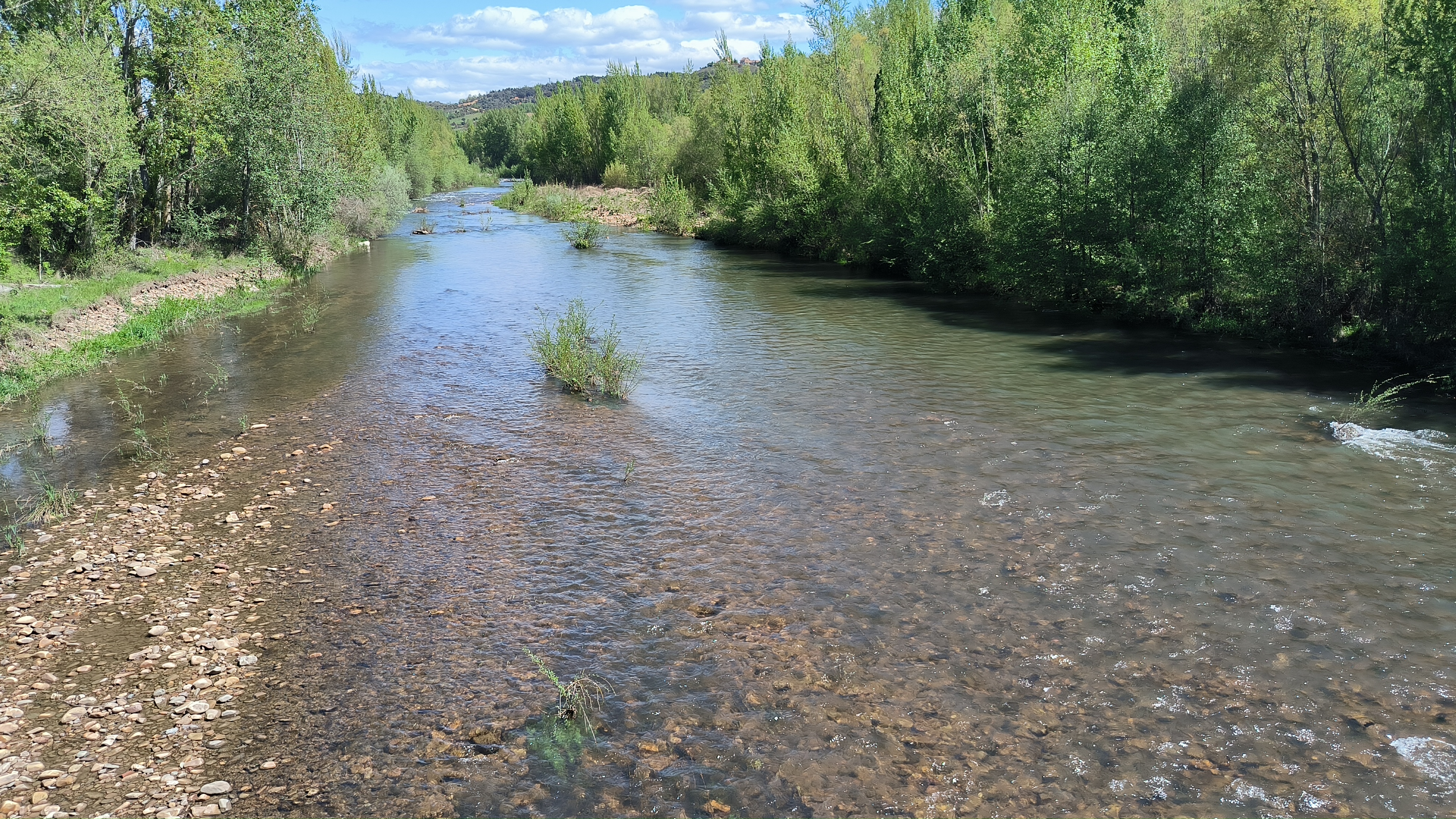
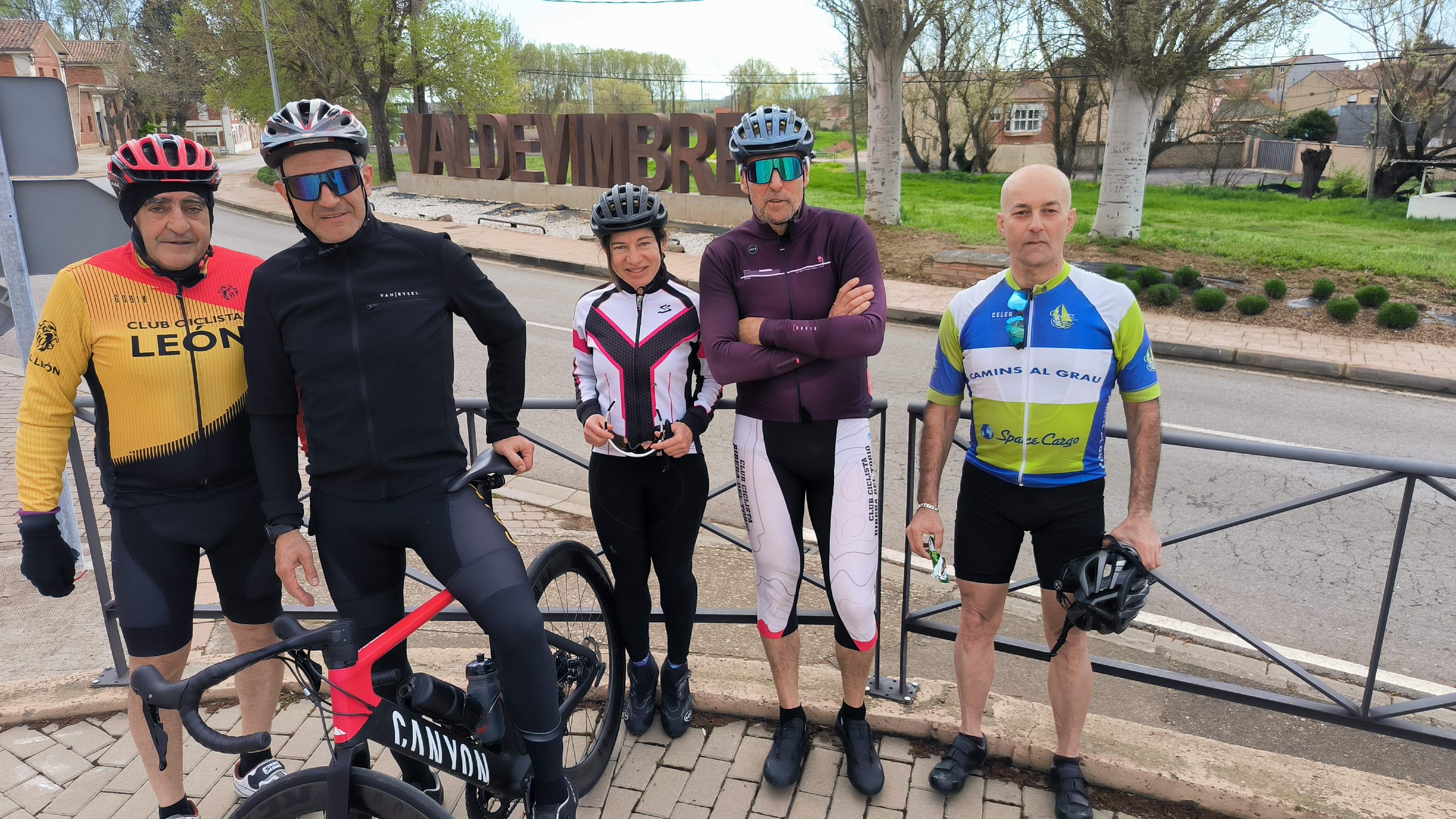
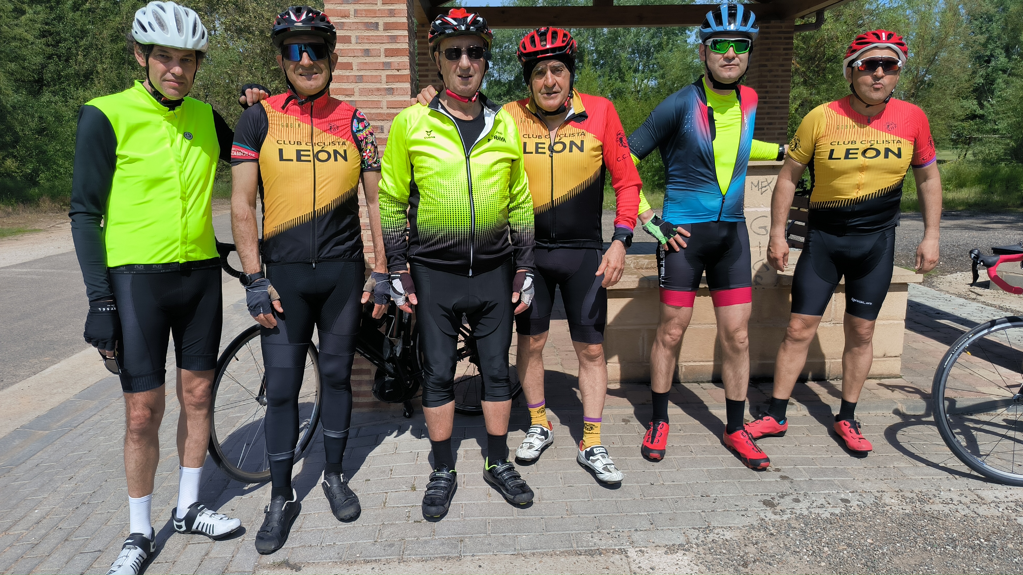
CARRIZO - SAN FELIZ DE LAS LAVANDERAS - 18
A cycling route starting in León, Castille and León, Spain.
Overview
About this route
LEÓN-FERRAL-CARRIZO-RIOFRIO-SAN FELIZ DE LAS LAVANDERAS-GARANDILLA-RIOSECO-18-LORENZANA-LEÓN
- -:--
- Duration
- 92.9 km
- Distance
- 1,078 m
- Ascent
- 1,089 m
- Descent
- ---
- Avg. speed
- 1,183 m
- Avg. speed
Route quality
Waytypes & surfaces along the route
Waytypes
Busy road
53.4 km
(58 %)
Road
24.1 km
(26 %)
Surfaces
Paved
81 km
(87 %)
Unpaved
2.3 km
(2 %)
Asphalt
80.5 km
(87 %)
Unpaved (undefined)
1.7 km
(2 %)
Continue with Bikemap
Use, edit, or download this cycling route
You would like to ride CARRIZO - SAN FELIZ DE LAS LAVANDERAS - 18 or customize it for your own trip? Here is what you can do with this Bikemap route:
Free features
- Save this route as favorite or in collections
- Copy & plan your own version of this route
- Sync your route with Garmin or Wahoo
Premium features
Free trial for 3 days, or one-time payment. More about Bikemap Premium.
- Navigate this route on iOS & Android
- Export a GPX / KML file of this route
- Create your custom printout (try it for free)
- Download this route for offline navigation
Discover more Premium features.
Get Bikemap PremiumFrom our community
Other popular routes starting in León
 67 km. ruta de ermita del Buen Suceso.
- Distance
- 66.9 km
- Ascent
- 470 m
- Descent
- 511 m
- Location
- León, Castille and León, Spain
 Vuelta León pistas y CB
- Distance
- 32.8 km
- Ascent
- 172 m
- Descent
- 176 m
- Location
- León, Castille and León, Spain
 76 km. ruta de Mansilla, Valdevimbre
- Distance
- 76.6 km
- Ascent
- 416 m
- Descent
- 466 m
- Location
- León, Castille and León, Spain
 SOBARRIBA (LEON-CORBILLOS-TENDAL-VILLAVENTE-VILLAFELIZ-REPRESA-S.CIPRIANO C.-S.VICENTE C.-CASTRILLO-VILLARENTE-LEON)
- Distance
- 52.2 km
- Ascent
- 292 m
- Descent
- 291 m
- Location
- León, Castille and León, Spain
 San Andres, Montejos, Aeropuerto, La Virgen, Oteruelo, Armunia;Candamia
- Distance
- 33.7 km
- Ascent
- 197 m
- Descent
- 197 m
- Location
- León, Castille and León, Spain
 74 km. ruta de las Omañas
- Distance
- 74.4 km
- Ascent
- 632 m
- Descent
- 694 m
- Location
- León, Castille and León, Spain
 León-Villaturiel-Villarroañe-León
- Distance
- 41.7 km
- Ascent
- 132 m
- Descent
- 132 m
- Location
- León, Castille and León, Spain
 León-Ribera del Torío-Riosequino-Venta de la Tuerta-León
- Distance
- 39.4 km
- Ascent
- 336 m
- Descent
- 337 m
- Location
- León, Castille and León, Spain
Open it in the app