
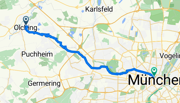
Gerhart-Hauptmann-Straße 5B, Olching nach Max-Joseph-Straße 4, München
A cycling route starting in Olching, Bavaria, Germany.
Overview
About this route
- 1 h 25 min
- Duration
- 23.5 km
- Distance
- 51 m
- Ascent
- 27 m
- Descent
- 16.5 km/h
- Avg. speed
- 529 m
- Avg. speed

Route quality
Waytypes & surfaces along the route
Waytypes
Path
11.5 km
(49 %)
Quiet road
8.5 km
(36 %)
Surfaces
Paved
23.1 km
(98 %)
Unpaved
0.1 km
(<1 %)
Asphalt
21 km
(90 %)
Paved (undefined)
1.8 km
(8 %)
Continue with Bikemap
Use, edit, or download this cycling route
You would like to ride Gerhart-Hauptmann-Straße 5B, Olching nach Max-Joseph-Straße 4, München or customize it for your own trip? Here is what you can do with this Bikemap route:
Free features
- Save this route as favorite or in collections
- Copy & plan your own version of this route
- Sync your route with Garmin or Wahoo
Premium features
Free trial for 3 days, or one-time payment. More about Bikemap Premium.
- Navigate this route on iOS & Android
- Export a GPX / KML file of this route
- Create your custom printout (try it for free)
- Download this route for offline navigation
Discover more Premium features.
Get Bikemap PremiumFrom our community
Other popular routes starting in Olching
 Olching Emmering Olching
- Distance
- 16.6 km
- Ascent
- 16 m
- Descent
- 14 m
- Location
- Olching, Bavaria, Germany
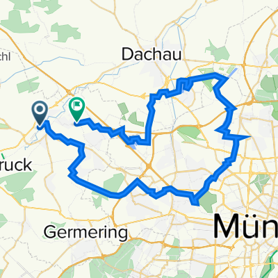 Sieben-Seen-Runde
- Distance
- 54 km
- Ascent
- 67 m
- Descent
- 67 m
- Location
- Olching, Bavaria, Germany
 Olching - Rundweg - Olching
- Distance
- 27.5 km
- Ascent
- 32 m
- Descent
- 32 m
- Location
- Olching, Bavaria, Germany
 ?ŸX ? nach ?ŸX ?
- Distance
- 62.3 km
- Ascent
- 492 m
- Descent
- 491 m
- Location
- Olching, Bavaria, Germany
 Unbenannte Route
- Distance
- 17.8 km
- Ascent
- 35 m
- Descent
- 29 m
- Location
- Olching, Bavaria, Germany
 Hinterland rundfahrt übers Maisacher Volksfest
- Distance
- 28 km
- Ascent
- 27 m
- Descent
- 29 m
- Location
- Olching, Bavaria, Germany
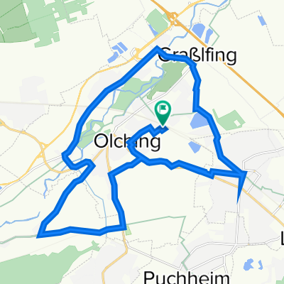
 Rund um Olching
- Distance
- 20.9 km
- Ascent
- 22 m
- Descent
- 23 m
- Location
- Olching, Bavaria, Germany
 Indersdorfer Juwel
- Distance
- 78.8 km
- Ascent
- 250 m
- Descent
- 250 m
- Location
- Olching, Bavaria, Germany
Open it in the app