Premium Badge Download on the App Store Get it on Google Play Turn-by-turn Navigation Offline Maps Bike Type Optimized Routing Premium Maps Custom Bike Computer Export Routes Route Previews Fall Detection Premium Support

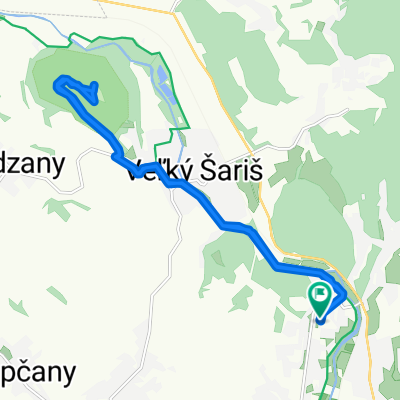
Cycling Route in Prešov, Prešovský kraj, Slovak Republic

terénny nástup do Slánskych

0
Open this route in the Bikemap app

Open this route in the Bikemap app

Open this route in Bikemap Web

Open this route in Bikemap Web

10 km
Distance
379 m
Ascent
4 m
Descent
-:-- h
Duration
-- km/h
Avg. Speed
--- m
Max. Elevation

About This Route

Nástup do Slánskych vrchov terénom. Z Ľubotíc poľnou cestou na asfaltku z Podhradíka do Terakoviec. Po asfaltke k jazierku. Chodníčkom, ktorý začína za ľavým horným rohom jazierka vyšľapeme k bývalej voj. strelnici RNV. Pokračujeme cestou po ľavej strane strelnice na jej vzdialený koniec. Ponad strelnicu doprava  do lesa a prudšou lesnou cestou doľava na lesnú cestu z Ruskej. Tam doprava na zákrutu kde končí les. asfaltka z RNV. Môžeme pokračovať hore  smerom na Fricku alebo zjazdom po asfaltke prídeme do RNV.

This cycling route is ideal for: MTB

You will cycle on the following surfaces: Paved Unpaved Gravel

Highlights Along The Route

Point of Interest

Kríž

Point of Interest

Stúpanie na Fricku resp. chatu Sova

Point of Interest

Zjazd asfaltka do Ruskej N. V.

Customize this cycling route with the Bikemap route planner.

Make it yours!

Did you know? You can use this route as a template in our cycling route planner if you don't wish to start from scratch. Customize it based on your needs to plan your perfect cycling tour.

Open it in the app