Premium Badge Download on the App Store Get it on Google Play Turn-by-turn Navigation Offline Maps Bike Type Optimized Routing Premium Maps Custom Bike Computer Export Routes Route Previews Fall Detection Premium Support

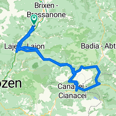
Cycling Route in Feldthurns, Trentino-Alto Adige, Italy

dolomiti

0
Open this route in the Bikemap app

Open this route in the Bikemap app

Open this route in Bikemap Web

Open this route in Bikemap Web

64 km
Distance
7160 m
Ascent
7499 m
Descent
-:-- h
Duration
-- km/h
Avg. Speed
2462 m
Max. Elevation

About This Route

velturno - funes - san martino in badia - selva di val gardena - ortisei - velturno

-

Customize this cycling route with the Bikemap route planner.

Make it yours!

Did you know? You can use this route as a template in our cycling route planner if you don't wish to start from scratch. Customize it based on your needs to plan your perfect cycling tour.

Open it in the app