

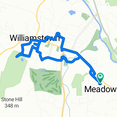
Mohawk Trail 929-919, Williamstown to Maple Street 620, Mansfield
A cycling route starting in Williamstown, Massachusetts, United States of America.
Overview
About this route
- 18 h 44 min
- Duration
- 259.7 km
- Distance
- 3,241 m
- Ascent
- 3,423 m
- Descent
- 13.9 km/h
- Avg. speed
- 673 m
- Avg. speed

Route quality
Waytypes & surfaces along the route
Waytypes
Road
101.3 km
(39 %)
Quiet road
83.2 km
(32 %)
Surfaces
Paved
131.6 km
(51 %)
Unpaved
25 km
(10 %)
Asphalt
125.7 km
(48 %)
Unpaved (undefined)
14.2 km
(5 %)
Continue with Bikemap
Use, edit, or download this cycling route
You would like to ride Mohawk Trail 929-919, Williamstown to Maple Street 620, Mansfield or customize it for your own trip? Here is what you can do with this Bikemap route:
Free features
- Save this route as favorite or in collections
- Copy & plan your own version of this route
- Sync your route with Garmin or Wahoo
Premium features
Free trial for 3 days, or one-time payment. More about Bikemap Premium.
- Navigate this route on iOS & Android
- Export a GPX / KML file of this route
- Create your custom printout (try it for free)
- Download this route for offline navigation
Discover more Premium features.
Get Bikemap PremiumFrom our community
Other popular routes starting in Williamstown
 Adams Road 90, Williamstown to Adams Road 90, Williamstown
- Distance
- 8.5 km
- Ascent
- 66 m
- Descent
- 66 m
- Location
- Williamstown, Massachusetts, United States of America
 Adams Road 90, Williamstown to Adams Road 90, Williamstown
- Distance
- 12.4 km
- Ascent
- 92 m
- Descent
- 93 m
- Location
- Williamstown, Massachusetts, United States of America
 240 Luce Rd, Williamstown to 222 Luce Rd, Williamstown
- Distance
- 26.1 km
- Ascent
- 302 m
- Descent
- 303 m
- Location
- Williamstown, Massachusetts, United States of America
 850 Simonds Rd, Williamstown to 850 Simonds Rd, Williamstown
- Distance
- 18.4 km
- Ascent
- 192 m
- Descent
- 195 m
- Location
- Williamstown, Massachusetts, United States of America
 Cinq Coins 4 22 Tues
- Distance
- 122.3 km
- Ascent
- 1,178 m
- Descent
- 1,006 m
- Location
- Williamstown, Massachusetts, United States of America
 Ride around the mountain
- Distance
- 73.3 km
- Ascent
- 488 m
- Descent
- 398 m
- Location
- Williamstown, Massachusetts, United States of America
 301–371 Stetson Rd, Williamstown to 301–371 Stetson Rd, Williamstown
- Distance
- 9.9 km
- Ascent
- 37 m
- Descent
- 39 m
- Location
- Williamstown, Massachusetts, United States of America
 options 1
- Distance
- 72.5 km
- Ascent
- 779 m
- Descent
- 785 m
- Location
- Williamstown, Massachusetts, United States of America
Open it in the app