

Landgraf-Karl-Straße 1, Kassel nach B251 290, Kassel
A cycling route starting in Kassel, Hesse, Germany.
Overview
About this route
- 10 min
- Duration
- 2.6 km
- Distance
- 22 m
- Ascent
- 24 m
- Descent
- 15.1 km/h
- Avg. speed
- 200 m
- Avg. speed
Route quality
Waytypes & surfaces along the route
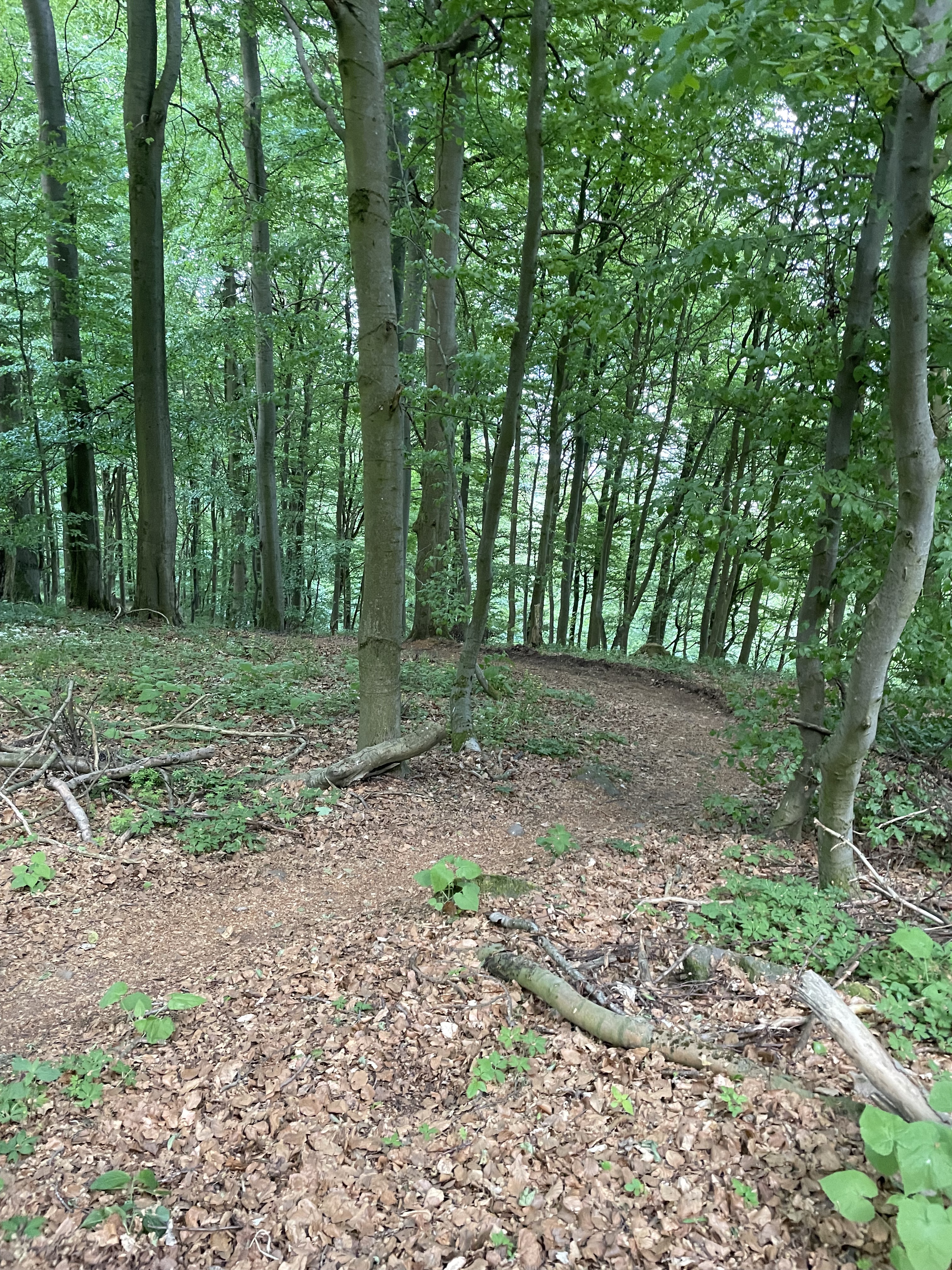
Waytypes
Quiet road
1.5 km
(57 %)
Path
0.7 km
(27 %)
Surfaces
Paved
2.6 km
(99 %)
Asphalt
2 km
(78 %)
Paving stones
0.4 km
(16 %)
Continue with Bikemap
Use, edit, or download this cycling route
You would like to ride Landgraf-Karl-Straße 1, Kassel nach B251 290, Kassel or customize it for your own trip? Here is what you can do with this Bikemap route:
Free features
- Save this route as favorite or in collections
- Copy & plan your own version of this route
- Sync your route with Garmin or Wahoo
Premium features
Free trial for 3 days, or one-time payment. More about Bikemap Premium.
- Navigate this route on iOS & Android
- Export a GPX / KML file of this route
- Create your custom printout (try it for free)
- Download this route for offline navigation
Discover more Premium features.
Get Bikemap PremiumFrom our community
Other popular routes starting in Kassel
 Knickhager Berg
- Distance
- 40.8 km
- Ascent
- 383 m
- Descent
- 358 m
- Location
- Kassel, Hesse, Germany
 JF From Kassel to Hessisch Lichtenau
- Distance
- 41.6 km
- Ascent
- 620 m
- Descent
- 424 m
- Location
- Kassel, Hesse, Germany
 Sauerbrunnen Runde
- Distance
- 77.4 km
- Ascent
- 664 m
- Descent
- 662 m
- Location
- Kassel, Hesse, Germany
 JF From Kassel to Hann Münden
- Distance
- 35.8 km
- Ascent
- 365 m
- Descent
- 421 m
- Location
- Kassel, Hesse, Germany
 Hausrunde
- Distance
- 38 km
- Ascent
- 339 m
- Descent
- 339 m
- Location
- Kassel, Hesse, Germany
 110402_Wattenbach
- Distance
- 36 km
- Ascent
- 434 m
- Descent
- 436 m
- Location
- Kassel, Hesse, Germany
 Kassel Hann
- Distance
- 30 km
- Ascent
- 217 m
- Descent
- 289 m
- Location
- Kassel, Hesse, Germany
 Theodor-Fliedner-Straße, Kassel nach Theodor-Fliedner-Straße, Kassel
- Distance
- 19.3 km
- Ascent
- 522 m
- Descent
- 518 m
- Location
- Kassel, Hesse, Germany
Open it in the app