
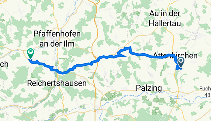
Waldstraße 36, Attenkirchen nach Schyrenplatz 1, Scheyern
A cycling route starting in Attenkirchen, Bavaria, Germany.
Overview
About this route
- 2 h 8 min
- Duration
- 31.6 km
- Distance
- 436 m
- Ascent
- 442 m
- Descent
- 14.9 km/h
- Avg. speed
- 528 m
- Avg. speed
Route quality
Waytypes & surfaces along the route
Waytypes
Quiet road
13.9 km
(44 %)
Road
9 km
(28 %)
Surfaces
Paved
16.9 km
(53 %)
Asphalt
16.1 km
(51 %)
Paved (undefined)
0.8 km
(3 %)
Undefined
14.7 km
(47 %)
Continue with Bikemap
Use, edit, or download this cycling route
You would like to ride Waldstraße 36, Attenkirchen nach Schyrenplatz 1, Scheyern or customize it for your own trip? Here is what you can do with this Bikemap route:
Free features
- Save this route as favorite or in collections
- Copy & plan your own version of this route
- Sync your route with Garmin or Wahoo
Premium features
Free trial for 3 days, or one-time payment. More about Bikemap Premium.
- Navigate this route on iOS & Android
- Export a GPX / KML file of this route
- Create your custom printout (try it for free)
- Download this route for offline navigation
Discover more Premium features.
Get Bikemap PremiumFrom our community
Other popular routes starting in Attenkirchen
 Amelie Oberappersdorf - Haag-Zolling-Attenkirchen
- Distance
- 29.3 km
- Ascent
- 804 m
- Descent
- 817 m
- Location
- Attenkirchen, Bavaria, Germany
 Radrunde durch Zolling 30.8.17
- Distance
- 15.7 km
- Ascent
- 112 m
- Descent
- 124 m
- Location
- Attenkirchen, Bavaria, Germany
 Radrunde vom 12. August, 15:10
- Distance
- 16.2 km
- Ascent
- 93 m
- Descent
- 95 m
- Location
- Attenkirchen, Bavaria, Germany
 M2a: Attenkirchen - Waidhofen 70,8km 480hm
- Distance
- 70.7 km
- Ascent
- 566 m
- Descent
- 655 m
- Location
- Attenkirchen, Bavaria, Germany
 B2-2/Saale 2 kurz: Attenkirchen - Bad Abbach Zum Fischerwirt, 71,2km, 260hm
- Distance
- 71.2 km
- Ascent
- 361 m
- Descent
- 539 m
- Location
- Attenkirchen, Bavaria, Germany
 Attenkirchen Ampertour
- Distance
- 25 km
- Ascent
- 195 m
- Descent
- 211 m
- Location
- Attenkirchen, Bavaria, Germany
 Saale 2: Attenkirchen - Regensburg-Mariaort, Gasthof Krieger, 86,6km, 179hm
- Distance
- 87.2 km
- Ascent
- 179 m
- Descent
- 364 m
- Location
- Attenkirchen, Bavaria, Germany
 Attenkirchen Hopfentour CLONED FROM ROUTE 407729
- Distance
- 23.3 km
- Ascent
- 210 m
- Descent
- 210 m
- Location
- Attenkirchen, Bavaria, Germany
Open it in the app