

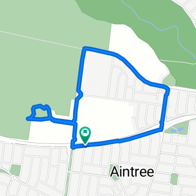
Wallaby Road 32, Aintree to Royal Melbourne Hospital/Flemington Rd, North Melbourne
A cycling route starting in Rockbank, Victoria, Australia.
Overview
About this route
- 2 h 5 min
- Duration
- 34.9 km
- Distance
- 77 m
- Ascent
- 140 m
- Descent
- 16.8 km/h
- Avg. speed
- 106 m
- Max. altitude
Route quality
Waytypes & surfaces along the route
Waytypes
Cycleway
22.4 km
(64 %)
Road
7.3 km
(21 %)
Surfaces
Paved
29 km
(83 %)
Unpaved
0.7 km
(2 %)
Concrete
15.7 km
(45 %)
Asphalt
10.5 km
(30 %)
Continue with Bikemap
Use, edit, or download this cycling route
You would like to ride Wallaby Road 32, Aintree to Royal Melbourne Hospital/Flemington Rd, North Melbourne or customize it for your own trip? Here is what you can do with this Bikemap route:
Free features
- Save this route as favorite or in collections
- Copy & plan your own version of this route
- Sync your route with Garmin or Wahoo
Premium features
Free trial for 3 days, or one-time payment. More about Bikemap Premium.
- Navigate this route on iOS & Android
- Export a GPX / KML file of this route
- Create your custom printout (try it for free)
- Download this route for offline navigation
Discover more Premium features.
Get Bikemap PremiumFrom our community
Other popular routes starting in Rockbank
 Walker St, Aintree to Walker St, Aintree
- Distance
- 4.2 km
- Ascent
- 6 m
- Descent
- 6 m
- Location
- Rockbank, Victoria, Australia
 Wallaby Road 32, Aintree to Royal Melbourne Hospital/Flemington Rd, North Melbourne
- Distance
- 34.9 km
- Ascent
- 77 m
- Descent
- 140 m
- Location
- Rockbank, Victoria, Australia
 -37.723° N 144.662° W to 19 Wynne Rd, Aintree
- Distance
- 2.6 km
- Ascent
- 6 m
- Descent
- 15 m
- Location
- Rockbank, Victoria, Australia
 1 Alwyn Close, Rockbank to 1 Alwyn Close, Rockbank
- Distance
- 8.2 km
- Ascent
- 26 m
- Descent
- 26 m
- Location
- Rockbank, Victoria, Australia
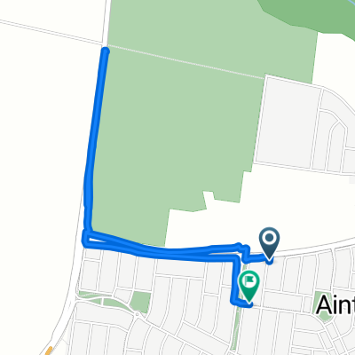 Walker St, Aintree to Walker St, Aintree
- Distance
- 4 km
- Ascent
- 3 m
- Descent
- 3 m
- Location
- Rockbank, Victoria, Australia
 Relaxed route in Rockbank
- Distance
- 8.6 km
- Ascent
- 104 m
- Descent
- 126 m
- Location
- Rockbank, Victoria, Australia
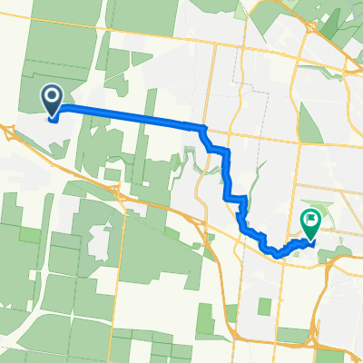 Mission Drive 12, Rockbank to Breadalbane Avenue 21, Cairnlea
- Distance
- 15.9 km
- Ascent
- 22 m
- Descent
- 66 m
- Location
- Rockbank, Victoria, Australia
 4A Fields St, Aintree to 53 Tedcastle Dr, Aintree
- Distance
- 2.1 km
- Ascent
- 0 m
- Descent
- 16 m
- Location
- Rockbank, Victoria, Australia
Open it in the app