

Tour 5 (Landkreis Amberg-Sulzbach)
A cycling route starting in Amberg, Bavaria, Germany.
Overview
About this route
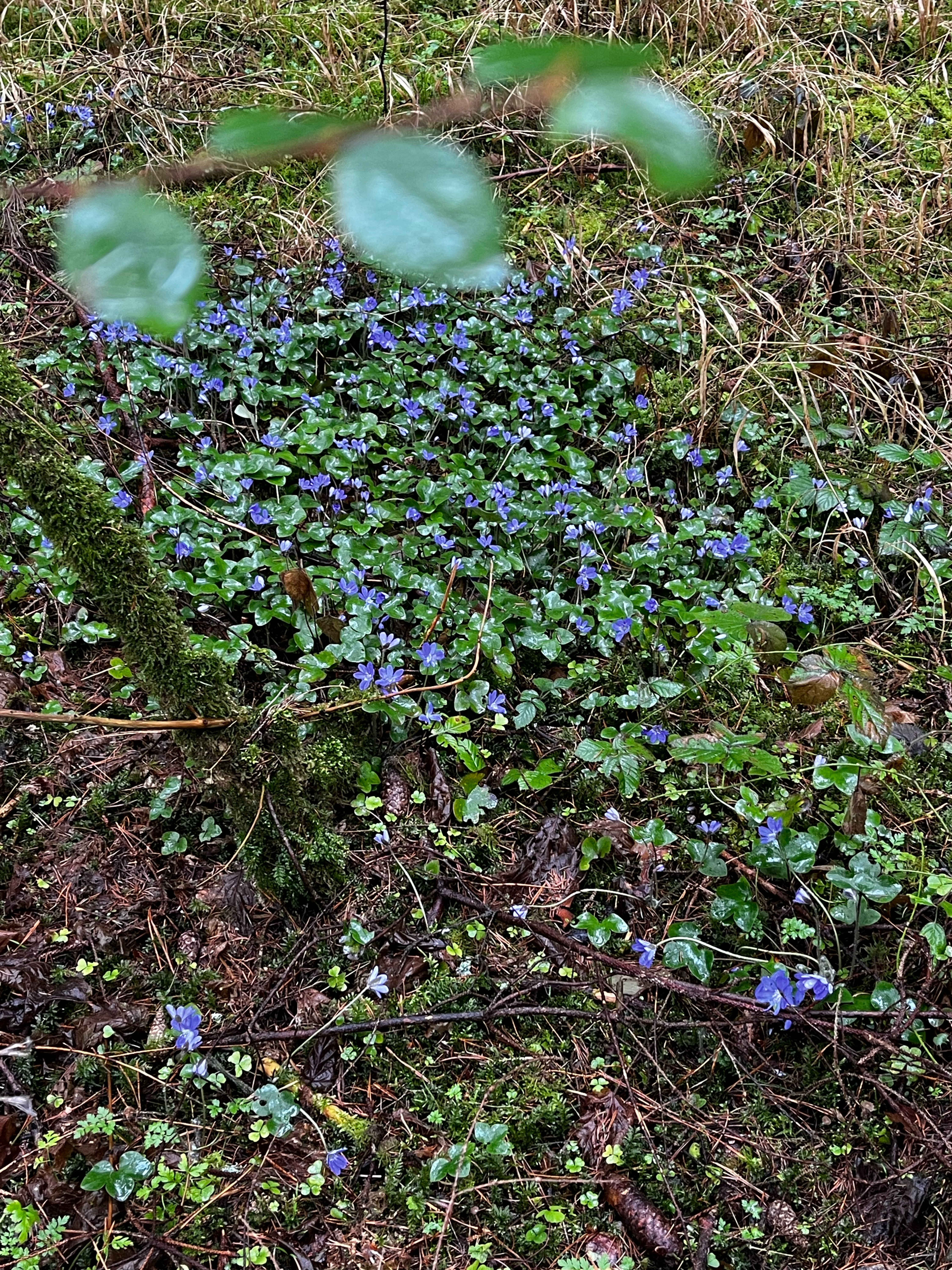
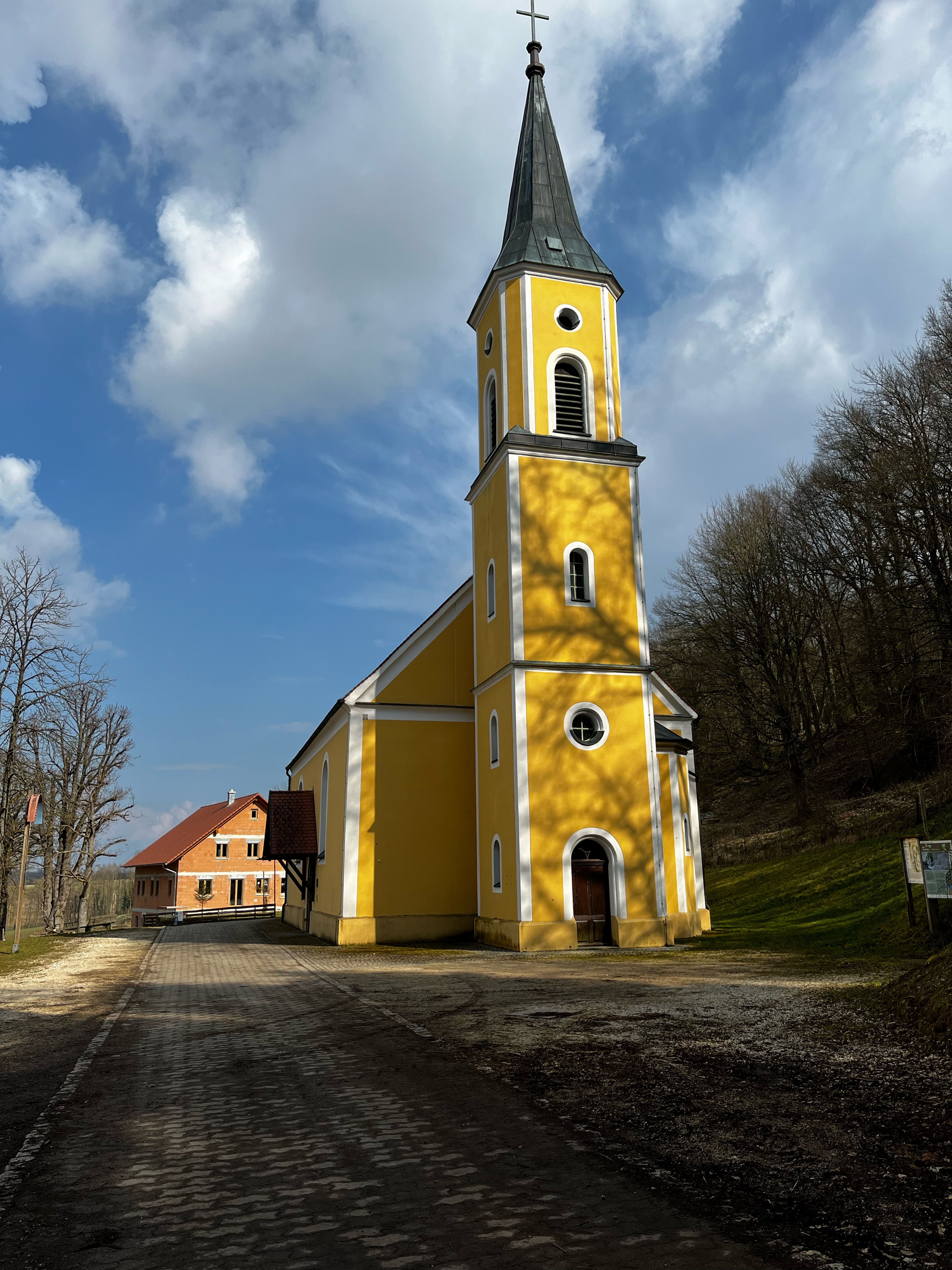
Von Amberg (der heimlichen Hauptstadt der Oberpfalz) nach Freudenberg (Freibad/Künstlerhof) gibt es auf dem Rundkurs einen bergigen Teil über Aschach (Bienenhof-Pursruck-Freudenberg (Einkehrmöglichkeiten)) und einen gemütlichen Heimweg über das Fensterbachtal. Auf dem Weg von Hüttenhof nach Amberg liegt etwas südlich von Hiltersdorf der Haidweiher. Hier üben die Wasserskifahrer im Sommer ihre Kunststücke. Von Kohlmühle aus verläuft in östlicher Richtung die Verbindung zwischen Vilstal und Naabtal entlang des Schweppermann-Radwegs (überregionaler Radweg).
- -:--
- Duration
- 32.8 km
- Distance
- 437 m
- Ascent
- 360 m
- Descent
- ---
- Avg. speed
- 564 m
- Avg. speed
Route quality
Waytypes & surfaces along the route
Waytypes
Track
14.4 km
(44 %)
Quiet road
7.1 km
(22 %)
Surfaces
Paved
16.8 km
(51 %)
Unpaved
13.8 km
(42 %)
Asphalt
15.7 km
(48 %)
Gravel
8.4 km
(26 %)
Continue with Bikemap
Use, edit, or download this cycling route
You would like to ride Tour 5 (Landkreis Amberg-Sulzbach) or customize it for your own trip? Here is what you can do with this Bikemap route:
Free features
- Save this route as favorite or in collections
- Copy & plan your own version of this route
- Sync your route with Garmin or Wahoo
Premium features
Free trial for 3 days, or one-time payment. More about Bikemap Premium.
- Navigate this route on iOS & Android
- Export a GPX / KML file of this route
- Create your custom printout (try it for free)
- Download this route for offline navigation
Discover more Premium features.
Get Bikemap PremiumFrom our community
Other popular routes starting in Amberg
 Amberg-Johannisberg-Buchberg-Mimbach
- Distance
- 44.9 km
- Ascent
- 740 m
- Descent
- 728 m
- Location
- Amberg, Bavaria, Germany
 Amberg Fichtenhof
- Distance
- 9.7 km
- Ascent
- 194 m
- Descent
- 171 m
- Location
- Amberg, Bavaria, Germany
 Aschach via Mausberg und Freudenberg Rundkurs mit Einkehr Landhotel Aschenbrenner
- Distance
- 49.6 km
- Ascent
- 600 m
- Descent
- 599 m
- Location
- Amberg, Bavaria, Germany
 Durch's Ruhrgebiet der Oberpfalz
- Distance
- 38.8 km
- Ascent
- 450 m
- Descent
- 450 m
- Location
- Amberg, Bavaria, Germany
 Mausberg
- Distance
- 41 km
- Ascent
- 506 m
- Descent
- 500 m
- Location
- Amberg, Bavaria, Germany
 Raigering - Trisching - Ellersdorf - Freudenberg - Raigering
- Distance
- 36 km
- Ascent
- 459 m
- Descent
- 459 m
- Location
- Amberg, Bavaria, Germany
 Vilsquelle
- Distance
- 65.3 km
- Ascent
- 535 m
- Descent
- 530 m
- Location
- Amberg, Bavaria, Germany
 GeoTour2
- Distance
- 47.6 km
- Ascent
- 358 m
- Descent
- 358 m
- Location
- Amberg, Bavaria, Germany
Open it in the app