
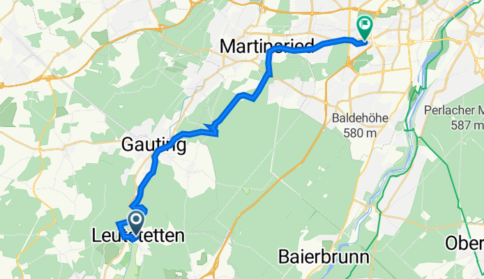
Altostraße 11, Starnberg nach Waxensteinstraße 26, München
A cycling route starting in Starnberg, Bavaria, Germany.
Overview
About this route
- 1 h 24 min
- Duration
- 21.8 km
- Distance
- 287 m
- Ascent
- 343 m
- Descent
- 15.5 km/h
- Avg. speed
- 603 m
- Avg. speed

Continue with Bikemap
Use, edit, or download this cycling route
You would like to ride Altostraße 11, Starnberg nach Waxensteinstraße 26, München or customize it for your own trip? Here is what you can do with this Bikemap route:
Free features
- Save this route as favorite or in collections
- Copy & plan your own version of this route
- Sync your route with Garmin or Wahoo
Premium features
Free trial for 3 days, or one-time payment. More about Bikemap Premium.
- Navigate this route on iOS & Android
- Export a GPX / KML file of this route
- Create your custom printout (try it for free)
- Download this route for offline navigation
Discover more Premium features.
Get Bikemap PremiumFrom our community
Other popular routes starting in Starnberg
 Starnberg - Starnberger See Umrundung
- Distance
- 52.7 km
- Ascent
- 106 m
- Descent
- 108 m
- Location
- Starnberg, Bavaria, Germany
 Starnberger See umrunden
- Distance
- 53 km
- Ascent
- 365 m
- Descent
- 311 m
- Location
- Starnberg, Bavaria, Germany
 Lena sta larn
- Distance
- 12.4 km
- Ascent
- 167 m
- Descent
- 144 m
- Location
- Starnberg, Bavaria, Germany
 Am Ufer des Starnberger Sees
- Distance
- 52 km
- Ascent
- 260 m
- Descent
- 251 m
- Location
- Starnberg, Bavaria, Germany
 STA-Leutstetten-Wangen-STA
- Distance
- 15 km
- Ascent
- 172 m
- Descent
- 169 m
- Location
- Starnberg, Bavaria, Germany
 Starnberg-Rund um den See
- Distance
- 70.1 km
- Ascent
- 834 m
- Descent
- 831 m
- Location
- Starnberg, Bavaria, Germany
 STARNBERGER SEE
- Distance
- 52.6 km
- Ascent
- 74 m
- Descent
- 74 m
- Location
- Starnberg, Bavaria, Germany
 Starnberg-Dachau 2023-07-13 19:44:21
- Distance
- 51.2 km
- Ascent
- 178 m
- Descent
- 285 m
- Location
- Starnberg, Bavaria, Germany
Open it in the app