

GRENZE HRANICE Trail of History
A cycling route starting in Langschlag, Lower Austria, Austria.
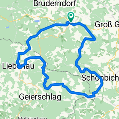
Overview
About this route
Rundkurs zur Geschichte der österr-tschechischen Geschichte
Wullowitz - Dolni Dvoriste
Pohori / Buchers
Karlstift
Joachimstal
Fischbach
Angelbach
(alternativ über St. Martin und der Lainsitz entlang bis Weitra) oder über Harbach und Wultschau
Himmelreich
Althütten
Hirschenwies
Heinrichs
Lauterbach
Harbach
Oberlembach
Unserfrau
Wielands
Ceske Velenice
Gmünd
- -:--
- Duration
- 223.2 km
- Distance
- 3,424 m
- Ascent
- 3,813 m
- Descent
- ---
- Avg. speed
- 983 m
- Avg. speed

Route quality
Waytypes & surfaces along the route
Waytypes
Road
133.4 km
(60 %)
Track
53.6 km
(24 %)
Surfaces
Paved
69.1 km
(31 %)
Unpaved
26.9 km
(12 %)
Asphalt
47.8 km
(21 %)
Gravel
21.4 km
(10 %)
Route highlights
Points of interest along the route

Point of interest after 37.5 km
Museum Alte Textilfabrik Rastplatz Radladestelle Infotafeln und Ausstellung Textil - regional - global

Point of interest after 47.8 km
Frantisek Faktor wurde auf österr Staatsgebiet auf seiner Flucht aus der CSSR erschossen

Point of interest after 96.8 km
Kirche / Kostel Buchers

Point of interest after 159.1 km
Mandelstein Treffpunkt der jährlichen Wallfahrt der Heimatvertriebenen, besonders bis 80er Jahre
Continue with Bikemap
Use, edit, or download this cycling route
You would like to ride GRENZE HRANICE Trail of History or customize it for your own trip? Here is what you can do with this Bikemap route:
Free features
- Save this route as favorite or in collections
- Copy & plan your own version of this route
- Sync your route with Garmin or Wahoo
Premium features
Free trial for 3 days, or one-time payment. More about Bikemap Premium.
- Navigate this route on iOS & Android
- Export a GPX / KML file of this route
- Create your custom printout (try it for free)
- Download this route for offline navigation
Discover more Premium features.
Get Bikemap PremiumFrom our community
Other popular routes starting in Langschlag
 Nordwaldtour
- Distance
- 38.2 km
- Ascent
- 197 m
- Descent
- 625 m
- Location
- Langschlag, Lower Austria, Austria
 Eichelberg - Strecke
- Distance
- 9.3 km
- Ascent
- 217 m
- Descent
- 220 m
- Location
- Langschlag, Lower Austria, Austria
 Panorama
- Distance
- 40.7 km
- Ascent
- 826 m
- Descent
- 830 m
- Location
- Langschlag, Lower Austria, Austria
 Naturparkwanderweg(10000 Schritte)
- Distance
- 7.1 km
- Ascent
- 178 m
- Descent
- 178 m
- Location
- Langschlag, Lower Austria, Austria
 Tannermoor
- Distance
- 38.7 km
- Ascent
- 757 m
- Descent
- 759 m
- Location
- Langschlag, Lower Austria, Austria
 Gravel Austria, Etappe Niederösterreich
- Distance
- 522.8 km
- Ascent
- 7,970 m
- Descent
- 8,788 m
- Location
- Langschlag, Lower Austria, Austria
 2 Ländertour
- Distance
- 58.7 km
- Ascent
- 1,027 m
- Descent
- 1,022 m
- Location
- Langschlag, Lower Austria, Austria
 Antenfeinhöfen Vorgang
- Distance
- 7.4 km
- Ascent
- 197 m
- Descent
- 196 m
- Location
- Langschlag, Lower Austria, Austria
Open it in the app