

cattaragna brugneyo lupi
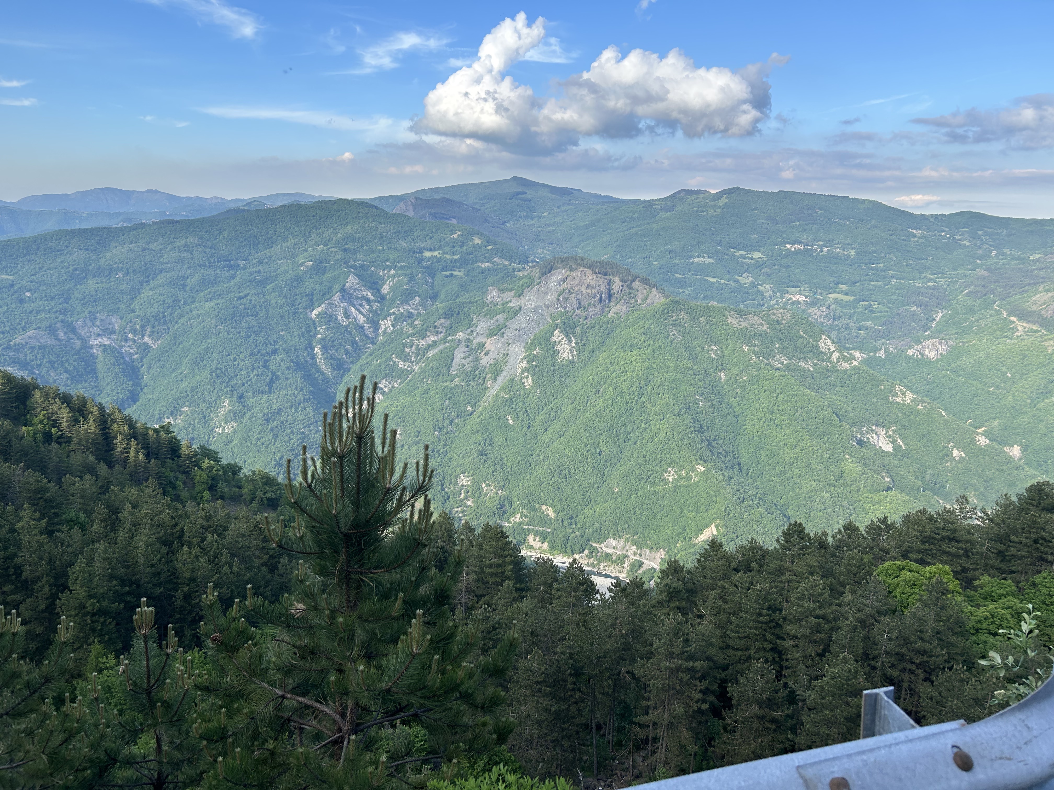
A cycling route starting in Cerignale, Emilia-Romagna, Italy.
Overview
About this route
- -:--
- Duration
- 59.9 km
- Distance
- 2,026 m
- Ascent
- 2,039 m
- Descent
- ---
- Avg. speed
- 962 m
- Avg. speed

Route quality
Waytypes & surfaces along the route
Waytypes
Busy road
36.1 km
(60 %)
Road
20.6 km
(34 %)
Surfaces
Paved
41.2 km
(69 %)
Unpaved
0.3 km
(<1 %)
Asphalt
41.2 km
(69 %)
Unpaved (undefined)
0.3 km
(<1 %)
Undefined
18.4 km
(31 %)
Continue with Bikemap
Use, edit, or download this cycling route
You would like to ride cattaragna brugneyo lupi or customize it for your own trip? Here is what you can do with this Bikemap route:
Free features
- Save this route as favorite or in collections
- Copy & plan your own version of this route
- Sync your route with Garmin or Wahoo
Premium features
Free trial for 3 days, or one-time payment. More about Bikemap Premium.
- Navigate this route on iOS & Android
- Export a GPX / KML file of this route
- Create your custom printout (try it for free)
- Download this route for offline navigation
Discover more Premium features.
Get Bikemap PremiumFrom our community
Other popular routes starting in Cerignale
 SP 17, Cerignale a SP 17, Cerignale
- Distance
- 46.2 km
- Ascent
- 1,186 m
- Descent
- 1,188 m
- Location
- Cerignale, Emilia-Romagna, Italy
 Passo del Giovà - Brallo
- Distance
- 68 km
- Ascent
- 1,477 m
- Descent
- 1,472 m
- Location
- Cerignale, Emilia-Romagna, Italy
 Pieve-Brugneto
- Distance
- 108.8 km
- Ascent
- 1,671 m
- Descent
- 1,668 m
- Location
- Cerignale, Emilia-Romagna, Italy
 cattaragna brugneyo lupi
- Distance
- 59.9 km
- Ascent
- 2,026 m
- Descent
- 2,039 m
- Location
- Cerignale, Emilia-Romagna, Italy
 madonna cattaragna
- Distance
- 61.3 km
- Ascent
- 1,904 m
- Descent
- 1,908 m
- Location
- Cerignale, Emilia-Romagna, Italy
 MADONNA - CPPANETTE DI PERI
- Distance
- 115.5 km
- Ascent
- 3,907 m
- Descent
- 3,921 m
- Location
- Cerignale, Emilia-Romagna, Italy
 Giro brallo dezza
- Distance
- 50.8 km
- Ascent
- 1,294 m
- Descent
- 1,298 m
- Location
- Cerignale, Emilia-Romagna, Italy
 Oneto - Ottone - Val Trebbia (PC)
- Distance
- 9.9 km
- Ascent
- 417 m
- Descent
- 704 m
- Location
- Cerignale, Emilia-Romagna, Italy