Premium Badge Download on the App Store Get it on Google Play Turn-by-turn Navigation Offline Maps Bike Type Optimized Routing Premium Maps Custom Bike Computer Export Routes Route Previews Fall Detection Premium Support

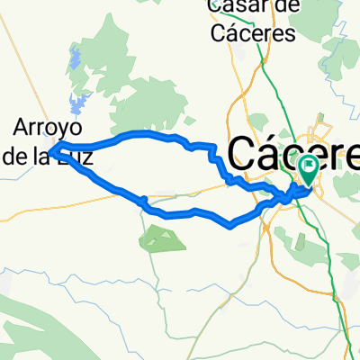
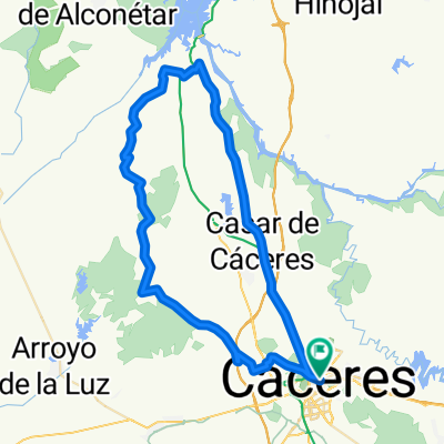
Cycling Route in Cáceres, Extremadura, Spain

Valdesalor Cáceres por corredor natural

1
Open this route in the Bikemap app

Open this route in the Bikemap app

Open this route in Bikemap Web

Open this route in Bikemap Web

44 km
Distance
227 m
Ascent
227 m
Descent
-:-- h
Duration
-- km/h
Avg. Speed
--- m
Max. Elevation

About This Route

Siguiendo los hitos del corredor natural no tiene perdida, se puede ampliar, desde un poco antes del castillo de la Segura hasta la gasolinera está intransitable y mal señalizado, por lo demás muy bien, se avistan aves rapaces en cantidad.

This cycling route is ideal for: MTB

You will cycle on the following surfaces: Unpaved Gravel

Customize this cycling route with the Bikemap route planner.

Make it yours!

Did you know? You can use this route as a template in our cycling route planner if you don't wish to start from scratch. Customize it based on your needs to plan your perfect cycling tour.

Open it in the app