

Olbrzymy - Czart, Skrzat, Borowy, Utopiec
A cycling route starting in Podgórzyn, Lower Silesian Voivodeship, Poland.
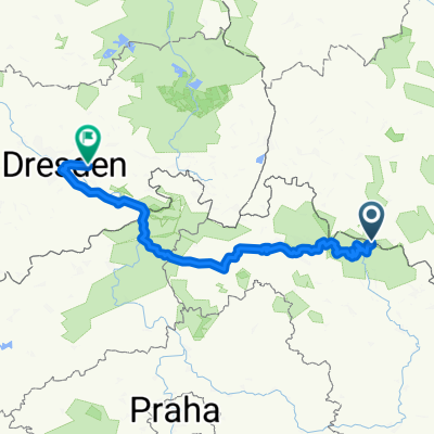
Overview
About this route
- -:--
- Duration
- 17.6 km
- Distance
- 351 m
- Ascent
- 349 m
- Descent
- ---
- Avg. speed
- 684 m
- Avg. speed

Route quality
Waytypes & surfaces along the route
Waytypes
Cycleway
10.6 km
(61 %)
Track
5.6 km
(32 %)
Surfaces
Paved
1.1 km
(6 %)
Unpaved
3.6 km
(21 %)
Gravel
3.5 km
(20 %)
Asphalt
0.8 km
(4 %)
Continue with Bikemap
Use, edit, or download this cycling route
You would like to ride Olbrzymy - Czart, Skrzat, Borowy, Utopiec or customize it for your own trip? Here is what you can do with this Bikemap route:
Free features
- Save this route as favorite or in collections
- Copy & plan your own version of this route
- Sync your route with Garmin or Wahoo
Premium features
Free trial for 3 days, or one-time payment. More about Bikemap Premium.
- Navigate this route on iOS & Android
- Export a GPX / KML file of this route
- Create your custom printout (try it for free)
- Download this route for offline navigation
Discover more Premium features.
Get Bikemap PremiumFrom our community
Other popular routes starting in Podgórzyn
 07.04.19 Lucni Bouda
- Distance
- 27.7 km
- Ascent
- 1,470 m
- Descent
- 1,351 m
- Location
- Podgórzyn, Lower Silesian Voivodeship, Poland
 Przesieka-Přeseka 2018
- Distance
- 332.2 km
- Ascent
- 1,479 m
- Descent
- 1,577 m
- Location
- Podgórzyn, Lower Silesian Voivodeship, Poland
 2014-06-19 Riesengebirge (Rund um die Schneekoppe)
- Distance
- 22.7 km
- Ascent
- 779 m
- Descent
- 1,085 m
- Location
- Podgórzyn, Lower Silesian Voivodeship, Poland
 Riesengebirge Tag 3
- Distance
- 248.6 km
- Ascent
- 3,617 m
- Descent
- 4,662 m
- Location
- Podgórzyn, Lower Silesian Voivodeship, Poland
 AMP Przesieka dzień pierwszy
- Distance
- 12.9 km
- Ascent
- 350 m
- Descent
- 350 m
- Location
- Podgórzyn, Lower Silesian Voivodeship, Poland
 Krkonošská pivní stezka 2018
- Distance
- 31.3 km
- Ascent
- 612 m
- Descent
- 1,326 m
- Location
- Podgórzyn, Lower Silesian Voivodeship, Poland
 przełecz karkonoska
- Distance
- 9.4 km
- Ascent
- 774 m
- Descent
- 34 m
- Location
- Podgórzyn, Lower Silesian Voivodeship, Poland
 Przełęcz karkonowska od strony czeskiej
- Distance
- 113.9 km
- Ascent
- 2,570 m
- Descent
- 2,243 m
- Location
- Podgórzyn, Lower Silesian Voivodeship, Poland
Open it in the app