

Tour 8 (Landkreis Amberg-Sulzbach)
A cycling route starting in Amberg, Bavaria, Germany.
Overview
About this route
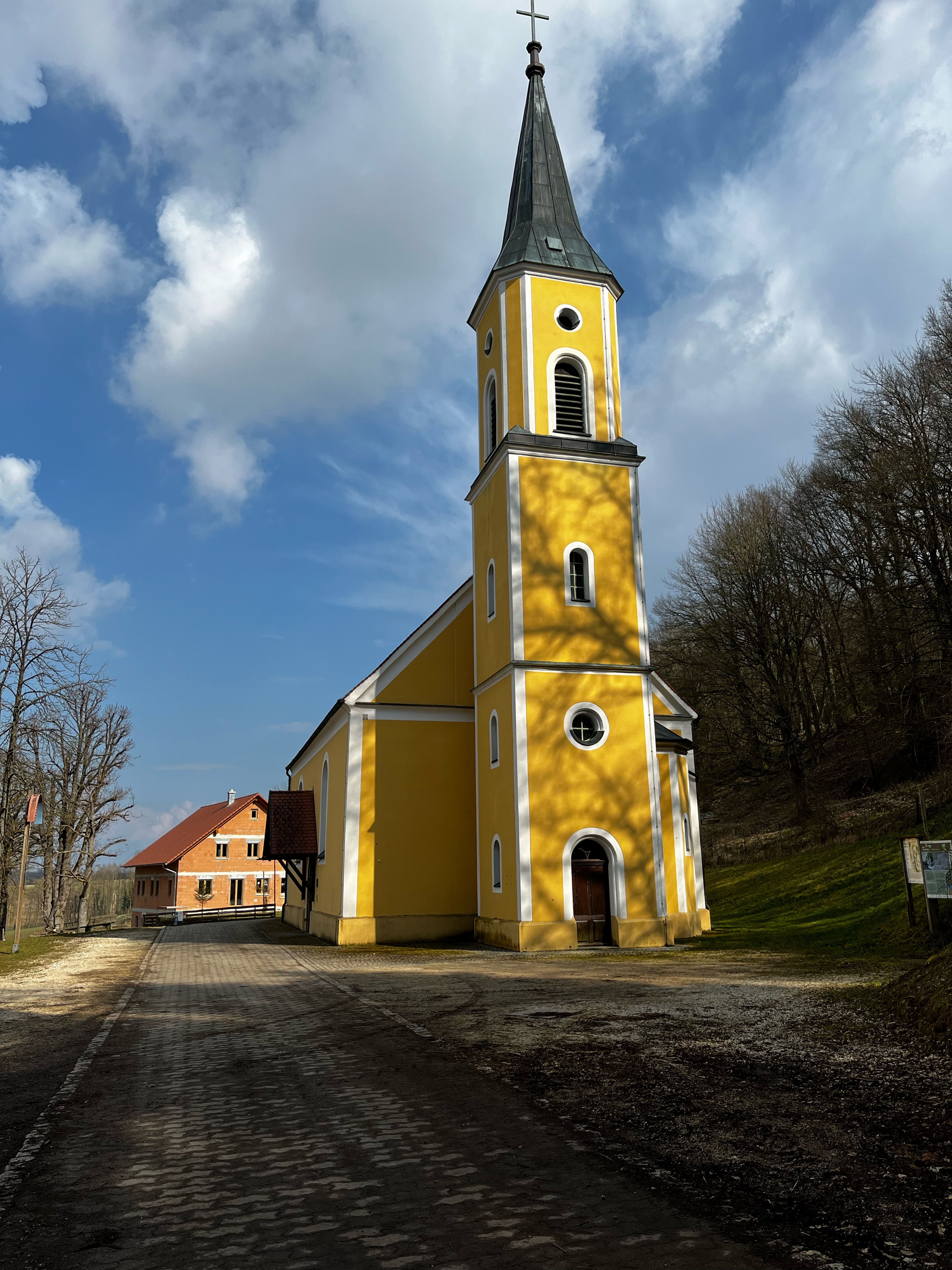
Von Amberg (Bayrische Eisenstraße) verläuft dieser anspruchsvolle Radweg genau westlich durch das Naherholungsgebiet bis Ammerthal (Dolomittürme). Im hügeligen, aber landschaftlich sehr reizvollen Birgland (Burgruinen Poppberg und Lichtenegg/Schwimmbad/Europäische Wasserscheide) führt er über Illschwang (Kräutergarten/Freibad/Simultankirche/Goldene Straße) bis zur Burgruine Lichtenegg (653m/lohnende Aussicht/Gastronomie). Mit einer Berg- und Talfahrt geht es über Högen bis Bachetsfeld. Danach verläuft der Radweg wieder rechts eben über Nebenstrecken (teils unbefestigt) bis Amberg. Die Tour empfiehlt sich auch in der Gegenrichtung.
- -:--
- Duration
- 45.9 km
- Distance
- 745 m
- Ascent
- 725 m
- Descent
- ---
- Avg. speed
- 575 m
- Avg. speed
Route quality
Waytypes & surfaces along the route
Waytypes
Quiet road
20.2 km
(44 %)
Road
15.3 km
(33 %)
Surfaces
Paved
30 km
(65 %)
Unpaved
6.2 km
(14 %)
Asphalt
28.3 km
(62 %)
Gravel
3.1 km
(7 %)
Continue with Bikemap
Use, edit, or download this cycling route
You would like to ride Tour 8 (Landkreis Amberg-Sulzbach) or customize it for your own trip? Here is what you can do with this Bikemap route:
Free features
- Save this route as favorite or in collections
- Copy & plan your own version of this route
- Sync your route with Garmin or Wahoo
Premium features
Free trial for 3 days, or one-time payment. More about Bikemap Premium.
- Navigate this route on iOS & Android
- Export a GPX / KML file of this route
- Create your custom printout (try it for free)
- Download this route for offline navigation
Discover more Premium features.
Get Bikemap PremiumFrom our community
Other popular routes starting in Amberg
 Amberg-Johannisberg-Buchberg-Mimbach
- Distance
- 44.9 km
- Ascent
- 740 m
- Descent
- 728 m
- Location
- Amberg, Bavaria, Germany
 Fünf Flüsse Tour an 7 Tagen
- Distance
- 300.9 km
- Ascent
- 451 m
- Descent
- 451 m
- Location
- Amberg, Bavaria, Germany
 Citytriathlon Amberg - CTA 2011 - 10km Runde
- Distance
- 10.6 km
- Ascent
- 87 m
- Descent
- 89 m
- Location
- Amberg, Bavaria, Germany
 GeoTour2
- Distance
- 47.6 km
- Ascent
- 358 m
- Descent
- 358 m
- Location
- Amberg, Bavaria, Germany
 Vilstal-Radrundtour
- Distance
- 51.2 km
- Ascent
- 323 m
- Descent
- 321 m
- Location
- Amberg, Bavaria, Germany
 Mausberg
- Distance
- 41 km
- Ascent
- 506 m
- Descent
- 500 m
- Location
- Amberg, Bavaria, Germany
 Raigering - Trisching - Ellersdorf - Freudenberg - Raigering
- Distance
- 36 km
- Ascent
- 459 m
- Descent
- 459 m
- Location
- Amberg, Bavaria, Germany
 Campingplatz in rieden
- Distance
- 17 km
- Ascent
- 54 m
- Descent
- 69 m
- Location
- Amberg, Bavaria, Germany
Open it in the app