Premium Badge Download on the App Store Get it on Google Play Turn-by-turn Navigation Offline Maps Bike Type Optimized Routing Premium Maps Custom Bike Computer Export Routes Route Previews Fall Detection Premium Support

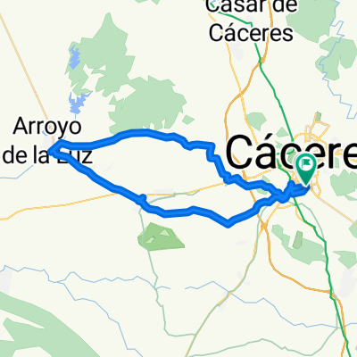
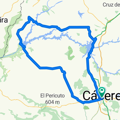
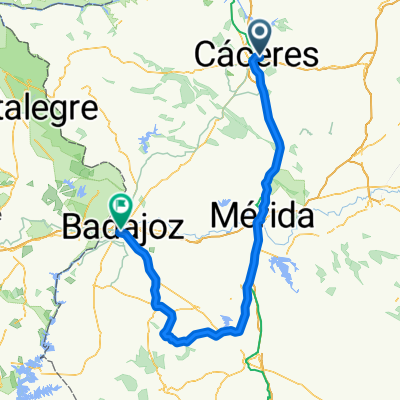
Cycling Route in Cáceres, Extremadura, Spain

CC - Valdesalor - S. Fuentes - Guadiloba - CC

0
Open this route in the Bikemap app

Open this route in the Bikemap app

Open this route in Bikemap Web

Open this route in Bikemap Web

54 km
Distance
301 m
Ascent
301 m
Descent
-:-- h
Duration
-- km/h
Avg. Speed
--- m
Max. Elevation

About This Route

Ruta de nivel Medio

Tiempo estimado 3 Horas.


La ruta no reviste mucha complicación en casi ningún tramo, quizá se pueda reseñar 2 repechos despues depasar el pantano pero en general muy accesible.

This cycling route is ideal for: MTB

You will cycle on the following surfaces: Unpaved Gravel

Customize this cycling route with the Bikemap route planner.

Make it yours!

Did you know? You can use this route as a template in our cycling route planner if you don't wish to start from scratch. Customize it based on your needs to plan your perfect cycling tour.

Open it in the app