

Intercity in bici Parma - Mantova 2
A cycling route starting in Parma, Emilia-Romagna, Italy.
Overview
About this route
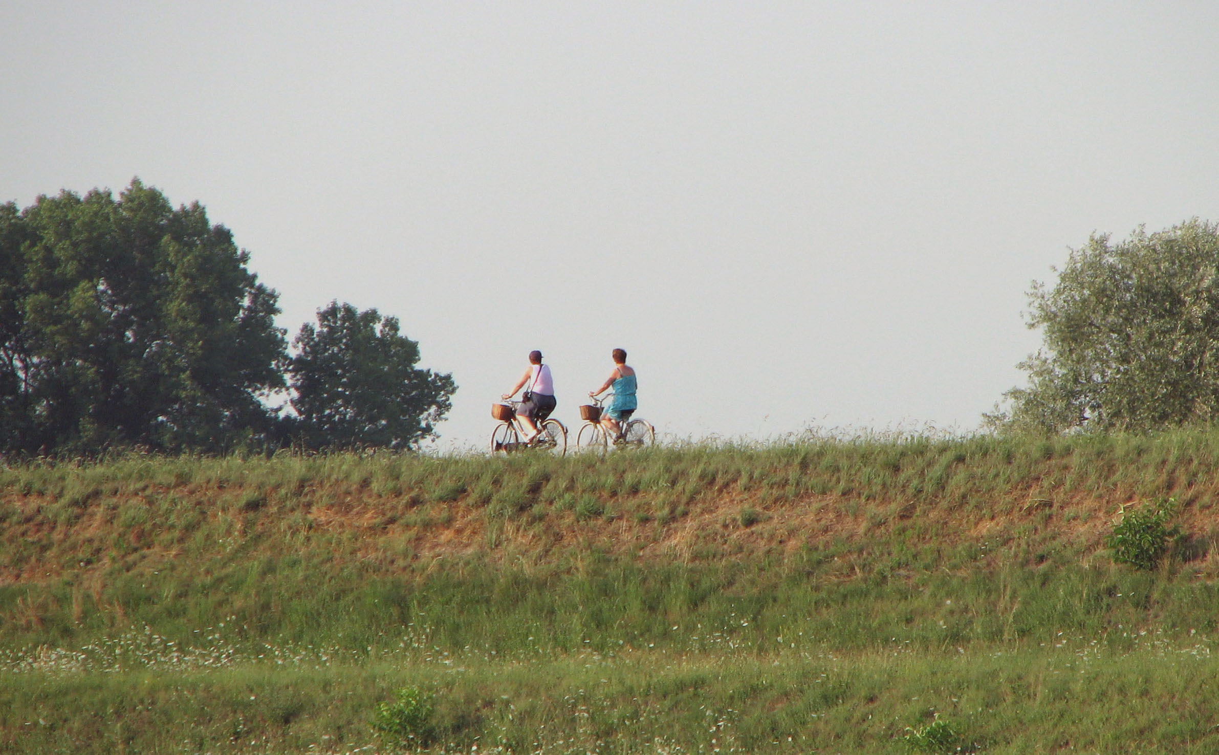
This route represents the best compromise between safety and shorter travel distance between Parma and Mantua. It maintains a critical point in the crossing of the Po on the Borgoforte bridge and does not include the passage from the art places of Colorno and Sabbioneta as in other routes between the same cities.
Questo percorso rappresenta il miglior compromesso fra sicurezza ed minor distanza dello spostamento tra Parma e Mantova. Mantiene un punto critico nell'attraversamento del Po sul ponte di Borgoforte e non prevede il passaggio dai luoghi d'arte di Colorno e Sabbioneta come in altri percorsi tra ele stesse città.
- -:--
- Duration
- 77.6 km
- Distance
- 181 m
- Ascent
- 214 m
- Descent
- ---
- Avg. speed
- 56 m
- Avg. speed

Route quality
Waytypes & surfaces along the route
Waytypes
Cycleway
25.9 km
(33 %)
Quiet road
23.5 km
(30 %)
Surfaces
Paved
42.8 km
(55 %)
Unpaved
1.9 km
(2 %)
Asphalt
37.9 km
(49 %)
Paved (undefined)
3.3 km
(4 %)
Continue with Bikemap
Use, edit, or download this cycling route
You would like to ride Intercity in bici Parma - Mantova 2 or customize it for your own trip? Here is what you can do with this Bikemap route:
Free features
- Save this route as favorite or in collections
- Copy & plan your own version of this route
- Sync your route with Garmin or Wahoo
Premium features
Free trial for 3 days, or one-time payment. More about Bikemap Premium.
- Navigate this route on iOS & Android
- Export a GPX / KML file of this route
- Create your custom printout (try it for free)
- Download this route for offline navigation
Discover more Premium features.
Get Bikemap PremiumFrom our community
Other popular routes starting in Parma
 Parma to Reggio Emilia per Colorno Guastalla
- Distance
- 98 km
- Ascent
- 154 m
- Descent
- 147 m
- Location
- Parma, Emilia-Romagna, Italy
 New 2 Parma Montechiarugolo -Montecchio
- Distance
- 43.7 km
- Ascent
- 134 m
- Descent
- 140 m
- Location
- Parma, Emilia-Romagna, Italy
 Argini parmensi
- Distance
- 64.4 km
- Ascent
- 58 m
- Descent
- 61 m
- Location
- Parma, Emilia-Romagna, Italy
 A6 Parma- Montechiarugolo -Montecchio - Reggio Emilia e dintorni
- Distance
- 61.3 km
- Ascent
- 214 m
- Descent
- 212 m
- Location
- Parma, Emilia-Romagna, Italy
 B4 Parma- Montechiarugolo -Montecchio - Rivalta Re
- Distance
- 56.5 km
- Ascent
- 246 m
- Descent
- 210 m
- Location
- Parma, Emilia-Romagna, Italy
 Parma-Alberi-Langhirano-Calestano-Parma
- Distance
- 70.7 km
- Ascent
- 796 m
- Descent
- 795 m
- Location
- Parma, Emilia-Romagna, Italy
 A6 Parma- Montechiarugolo -Montecchio - Reggio Emilia
- Distance
- 61.5 km
- Ascent
- 220 m
- Descent
- 218 m
- Location
- Parma, Emilia-Romagna, Italy
 giro Torrechiara
- Distance
- 55.1 km
- Ascent
- 390 m
- Descent
- 390 m
- Location
- Parma, Emilia-Romagna, Italy
Open it in the app