
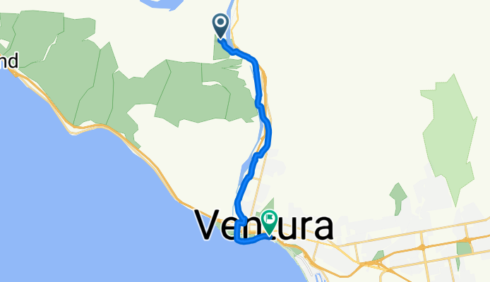
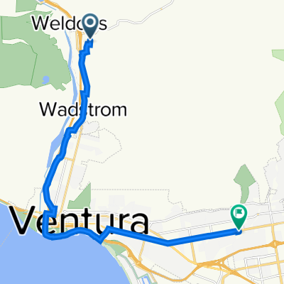
Ventura
A cycling route starting in Oak View, California, United States of America.
Overview
About this route
- 48 min
- Duration
- 13 km
- Distance
- 70 m
- Ascent
- 169 m
- Descent
- 16.2 km/h
- Avg. speed
- 127 m
- Avg. speed

Route quality
Waytypes & surfaces along the route
Waytypes
Cycleway
11.7 km
(90 %)
Road
0.9 km
(7 %)
Surfaces
Paved
8.5 km
(65 %)
Asphalt
7.2 km
(55 %)
Concrete
1.3 km
(10 %)
Undefined
4.5 km
(35 %)
Continue with Bikemap
Use, edit, or download this cycling route
You would like to ride Ventura or customize it for your own trip? Here is what you can do with this Bikemap route:
Free features
- Save this route as favorite or in collections
- Copy & plan your own version of this route
- Sync your route with Garmin or Wahoo
Premium features
Free trial for 3 days, or one-time payment. More about Bikemap Premium.
- Navigate this route on iOS & Android
- Export a GPX / KML file of this route
- Create your custom printout (try it for free)
- Download this route for offline navigation
Discover more Premium features.
Get Bikemap PremiumFrom our community
Other popular routes starting in Oak View
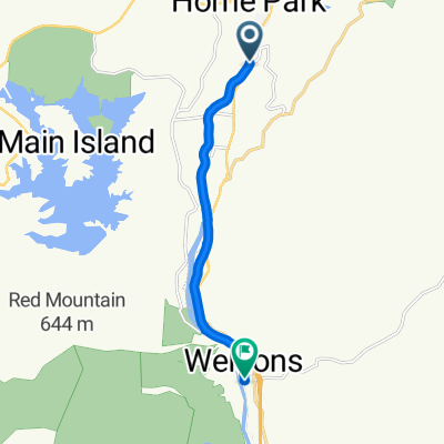 Route from 55 Catalina Dr, Ojai
- Distance
- 9.3 km
- Ascent
- 35 m
- Descent
- 159 m
- Location
- Oak View, California, United States of America
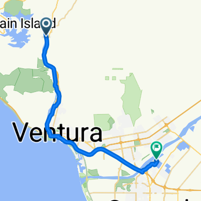
 Ventura
- Distance
- 13 km
- Ascent
- 70 m
- Descent
- 169 m
- Location
- Oak View, California, United States of America
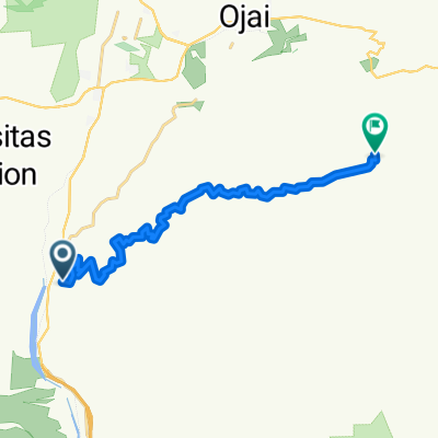 Sulphur Mountain Road 155, Ventura to Sulphur Mountain Road 7342, Ojai
- Distance
- 16.7 km
- Ascent
- 1,117 m
- Descent
- 444 m
- Location
- Oak View, California, United States of America
 Camarillo to Ojai
- Distance
- 14.6 km
- Ascent
- 189 m
- Descent
- 37 m
- Location
- Oak View, California, United States of America
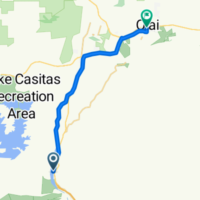
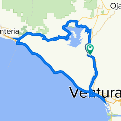
 Lake Casitas
- Distance
- 20.4 km
- Ascent
- 239 m
- Descent
- 217 m
- Location
- Oak View, California, United States of America
 Home to Coastal View
- Distance
- 16.4 km
- Ascent
- 88 m
- Descent
- 95 m
- Location
- Oak View, California, United States of America
 Ojai Valley Trail, Ventura to Tiber River Way, Oxnard
- Distance
- 30.3 km
- Ascent
- 100 m
- Descent
- 169 m
- Location
- Oak View, California, United States of America
 Ventura Loop
- Distance
- 71 km
- Ascent
- 775 m
- Descent
- 773 m
- Location
- Oak View, California, United States of America
Open it in the app