Premium Badge Download on the App Store Get it on Google Play Turn-by-turn Navigation Offline Maps Bike Type Optimized Routing Premium Maps Custom Bike Computer Export Routes Route Previews Fall Detection Premium Support

Cycling Route in Luthern, Canton of Lucerne, Switzerland

Aktivtag 2024 / Familien-Wanderung
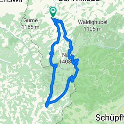
0
Open this route in the Bikemap app

Open this route in the Bikemap app

Open this route in Bikemap Web

Open this route in Bikemap Web

4 km
Distance
162 m
Ascent
163 m
Descent
-:-- h
Duration
-- km/h
Avg. Speed
918 m
Max. Elevation

About This Route

Wander Route im Luthertal am Fusse des Napf. Erstellt von: aktivtag.ch

You will cycle on the following surfaces: Paved Unpaved Gravel

Route Photos

Customize this cycling route with the Bikemap route planner.

Make it yours!

Did you know? You can use this route as a template in our cycling route planner if you don't wish to start from scratch. Customize it based on your needs to plan your perfect cycling tour.

Open it in the app