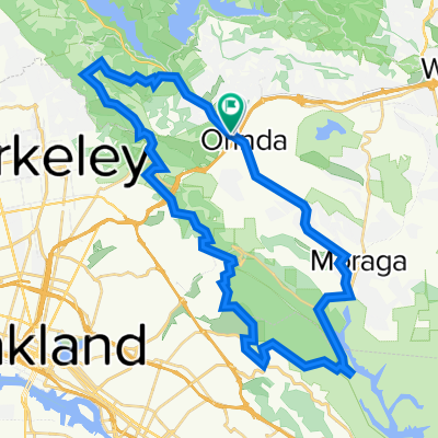
Cycling Route in Orinda, California, United States of America
A Major Miner Road Loop

Open this route in the Bikemap app

Open this route in Bikemap Web
Distance
Ascent
Descent
Duration
Avg. Speed
Max. Elevation
Cycling Route in Orinda, California, United States of America
Open this route in the Bikemap app
Open this route in Bikemap Web
Steep climp up St Stephens Drive (or Charles Hill Rd) to Honey Hill then onto Miner Road. Mostly downhill on Miner with a couple surprise upgrades along the way. Complete loop on Moraga Way to Glorietta to El Nido Ranch road. Tougher workout than my "Orinda Up & Downs Loop". Alternate clockwise/counterclockwise direction for variety. About 50 minutes, all on surface streets. Very light traffic, except on Camino Pablo. Cross over HYW24 on pedestrian bridges. I ratedit 4 out of 5 for workout.
Did you know? You can use this route as a template in our cycling route planner if you don't wish to start from scratch. Customize it based on your needs to plan your perfect cycling tour.
Open it in the app