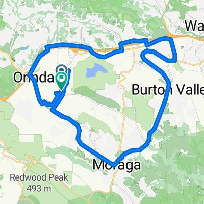
Cycling Route in Orinda, California, United States of America
Very Scenic Climb and Serpentine Loop
0

Open this route in the Bikemap app

Open this route in Bikemap Web
11
km
Distance
Distance
241
m
Ascent
Ascent
244
m
Descent
Descent
-:--
h
Duration
Duration
--
km/h
Avg. Speed
Avg. Speed
---
m
Max. Elevation
Max. Elevation