

Arnstadt-Oberhof (durchs Jonastal)
A cycling route starting in Arnstadt, Free State of Thuringia, Germany.
Overview
About this route
- -:--
- Duration
- 55.4 km
- Distance
- 724 m
- Ascent
- 586 m
- Descent
- ---
- Avg. speed
- 799 m
- Avg. speed

Route quality
Waytypes & surfaces along the route
Waytypes
Road
23.1 km
(42 %)
Busy road
21.4 km
(39 %)
Surfaces
Paved
48.8 km
(88 %)
Unpaved
3.6 km
(6 %)
Asphalt
46.4 km
(84 %)
Ground
2.8 km
(5 %)
Continue with Bikemap
Use, edit, or download this cycling route
You would like to ride Arnstadt-Oberhof (durchs Jonastal) or customize it for your own trip? Here is what you can do with this Bikemap route:
Free features
- Save this route as favorite or in collections
- Copy & plan your own version of this route
- Sync your route with Garmin or Wahoo
Premium features
Free trial for 3 days, or one-time payment. More about Bikemap Premium.
- Navigate this route on iOS & Android
- Export a GPX / KML file of this route
- Create your custom printout (try it for free)
- Download this route for offline navigation
Discover more Premium features.
Get Bikemap PremiumFrom our community
Other popular routes starting in Arnstadt
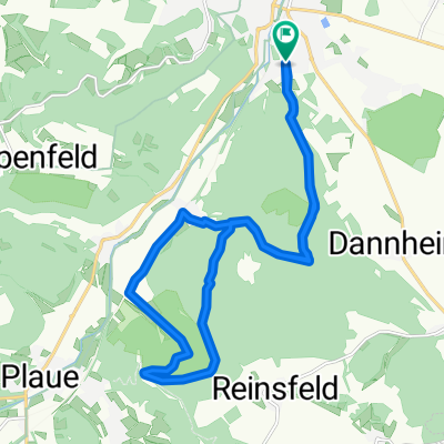
 Plaue Walburgis Kloster zurück
- Distance
- 19.6 km
- Ascent
- 196 m
- Descent
- 197 m
- Location
- Arnstadt, Free State of Thuringia, Germany
 Hausrunde
- Distance
- 18.5 km
- Ascent
- 539 m
- Descent
- 537 m
- Location
- Arnstadt, Free State of Thuringia, Germany
 Arnstadt-Rennsteig und zurück
- Distance
- 90.3 km
- Ascent
- 1,129 m
- Descent
- 1,124 m
- Location
- Arnstadt, Free State of Thuringia, Germany
 Auf den Spuren Bachs die 2
- Distance
- 30.8 km
- Ascent
- 512 m
- Descent
- 567 m
- Location
- Arnstadt, Free State of Thuringia, Germany
 3Gleichen,Apfelstädt,Molsdorf,Rudisleben
- Distance
- 45.5 km
- Ascent
- 267 m
- Descent
- 268 m
- Location
- Arnstadt, Free State of Thuringia, Germany
 Bachradweg
- Distance
- 60.4 km
- Ascent
- 556 m
- Descent
- 600 m
- Location
- Arnstadt, Free State of Thuringia, Germany
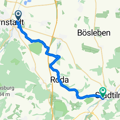 Radtour Arnstadt Stadtilm
- Distance
- 15.1 km
- Ascent
- 168 m
- Descent
- 69 m
- Location
- Arnstadt, Free State of Thuringia, Germany
 01 Geo-Route Arnstadt
- Distance
- 17.2 km
- Ascent
- 327 m
- Descent
- 330 m
- Location
- Arnstadt, Free State of Thuringia, Germany
Open it in the app