

Kornelimünster - Heimbach - Kornelimünster
A cycling route starting in Stolberg, North Rhine-Westphalia, Germany.
Overview
About this route
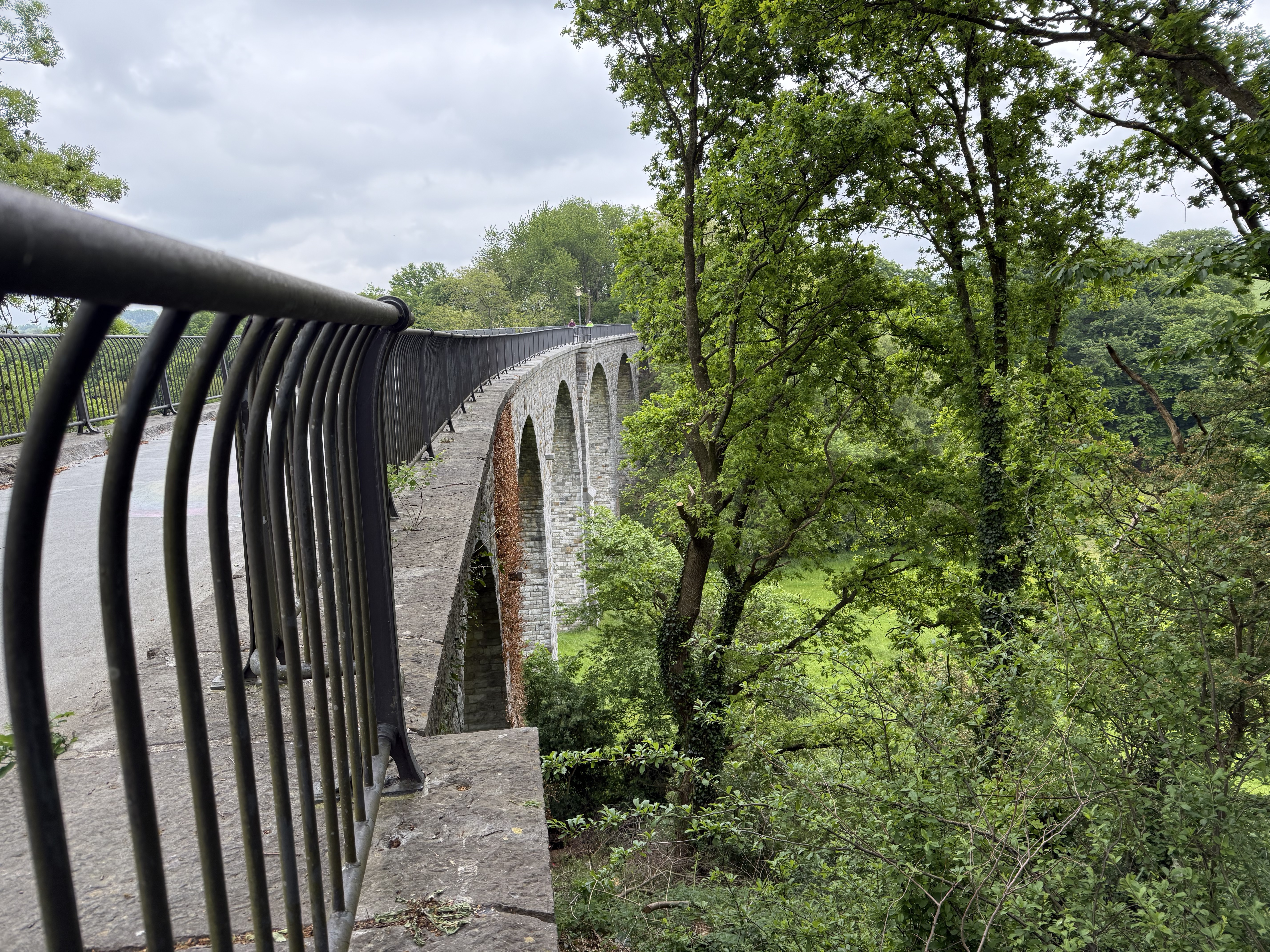
Abwechslungsreiche Strecke von Kornelimünster nach Heimbach und wieder zurück.
Zwischen Brück und Lammersdorf gibt es ein paar schwierigere Steigungen zu bewältigen, wobei der kurze Anstieg nach Rollesbroich mit knapp 10% der steilste ist. Danach kann man sich schön ausrollen.
- -:--
- Duration
- 89.2 km
- Distance
- 1,132 m
- Ascent
- 1,132 m
- Descent
- ---
- Avg. speed
- ---
- Avg. speed
Continue with Bikemap
Use, edit, or download this cycling route
You would like to ride Kornelimünster - Heimbach - Kornelimünster or customize it for your own trip? Here is what you can do with this Bikemap route:
Free features
- Save this route as favorite or in collections
- Copy & plan your own version of this route
- Sync your route with Garmin or Wahoo
Premium features
Free trial for 3 days, or one-time payment. More about Bikemap Premium.
- Navigate this route on iOS & Android
- Export a GPX / KML file of this route
- Create your custom printout (try it for free)
- Download this route for offline navigation
Discover more Premium features.
Get Bikemap PremiumFrom our community
Other popular routes starting in Stolberg
 Kleine Drei-Länder-Tour
- Distance
- 65.8 km
- Ascent
- 420 m
- Descent
- 472 m
- Location
- Stolberg, North Rhine-Westphalia, Germany
 RTF Eilendorf "Schwalbe - Tour Nordeifel"
- Distance
- 110.6 km
- Ascent
- 1,288 m
- Descent
- 1,193 m
- Location
- Stolberg, North Rhine-Westphalia, Germany
 Eifelsteig all stages
- Distance
- 313 km
- Ascent
- 1,671 m
- Descent
- 1,753 m
- Location
- Stolberg, North Rhine-Westphalia, Germany
 Aachen-Venn-Eifel 85km-1080Hm
- Distance
- 83 km
- Ascent
- 809 m
- Descent
- 812 m
- Location
- Stolberg, North Rhine-Westphalia, Germany
 Kornelimunster to Bahnhofplatz, Aachen
- Distance
- 20 km
- Ascent
- 137 m
- Descent
- 196 m
- Location
- Stolberg, North Rhine-Westphalia, Germany
 Breinig-Dreilägerbachtalsperre-Breinig
- Distance
- 21.6 km
- Ascent
- 199 m
- Descent
- 177 m
- Location
- Stolberg, North Rhine-Westphalia, Germany
 Indetal und Altstadt von Stolberg
- Distance
- 27.4 km
- Ascent
- 249 m
- Descent
- 248 m
- Location
- Stolberg, North Rhine-Westphalia, Germany
 Donnerberg- Diepenlinchen- Stolberger Burg
- Distance
- 8.4 km
- Ascent
- 185 m
- Descent
- 188 m
- Location
- Stolberg, North Rhine-Westphalia, Germany
Open it in the app