
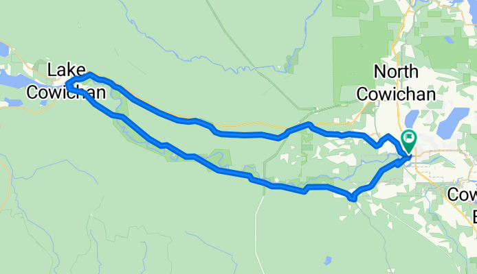
Duncan to Lake Cowichan by Cowichan Valley Trail
A cycling route starting in Duncan, British Columbia, Canada.
Overview
About this route
The north side trail is all gravel and in good condition (2012). The south side trail is much more scenic with 4 beautiful bridges and lots of great rest stops; however the trail is fairly rough. I rode it on 1" tires but would probably been happier on my knobby tired mountain bike.
The Country Grocer in Lake Cowichan has a great deli and caffeteria. They serve breakfast all day including waffles.
- -:--
- Duration
- 60.3 km
- Distance
- 297 m
- Ascent
- 297 m
- Descent
- ---
- Avg. speed
- ---
- Avg. speed

Route quality
Waytypes & surfaces along the route
Waytypes
Path
45.3 km
(75 %)
Quiet road
6.7 km
(11 %)
Surfaces
Paved
8.9 km
(15 %)
Unpaved
46.5 km
(77 %)
Gravel
45.2 km
(75 %)
Asphalt
6.6 km
(11 %)
Route highlights
Points of interest along the route
Point of interest after 12.9 km
Paldi Sikh Temple
Point of interest after 29.1 km
Country Grocer Lake Cowichan
Point of interest after 32.6 km
Tressel Bridge
Point of interest after 38.7 km
Skutz Falls
Point of interest after 51.4 km
Holt Creek Bridge
Continue with Bikemap
Use, edit, or download this cycling route
You would like to ride Duncan to Lake Cowichan by Cowichan Valley Trail or customize it for your own trip? Here is what you can do with this Bikemap route:
Free features
- Save this route as favorite or in collections
- Copy & plan your own version of this route
- Sync your route with Garmin or Wahoo
Premium features
Free trial for 3 days, or one-time payment. More about Bikemap Premium.
- Navigate this route on iOS & Android
- Export a GPX / KML file of this route
- Create your custom printout (try it for free)
- Download this route for offline navigation
Discover more Premium features.
Get Bikemap PremiumFrom our community
Other popular routes starting in Duncan
 Cowichan Valley Trail - Western Loop
- Distance
- 60.2 km
- Ascent
- 283 m
- Descent
- 287 m
- Location
- Duncan, British Columbia, Canada
 Cycle Therapy Training Route
- Distance
- 30.5 km
- Ascent
- 208 m
- Descent
- 206 m
- Location
- Duncan, British Columbia, Canada
 nanaimo
- Distance
- 52.6 km
- Ascent
- 415 m
- Descent
- 475 m
- Location
- Duncan, British Columbia, Canada
 Duncan a Dukepoint TCT
- Distance
- 58 km
- Ascent
- 368 m
- Descent
- 389 m
- Location
- Duncan, British Columbia, Canada
 Cowichan Valley North
- Distance
- 26.9 km
- Ascent
- 277 m
- Descent
- 170 m
- Location
- Duncan, British Columbia, Canada
 Victoria
- Distance
- 90.6 km
- Ascent
- 618 m
- Descent
- 674 m
- Location
- Duncan, British Columbia, Canada
 Quamichan Loop
- Distance
- 16.6 km
- Ascent
- 215 m
- Descent
- 215 m
- Location
- Duncan, British Columbia, Canada
 Quamichan Lake to Cowichan Bay
- Distance
- 10.8 km
- Ascent
- 106 m
- Descent
- 145 m
- Location
- Duncan, British Columbia, Canada
Open it in the app