

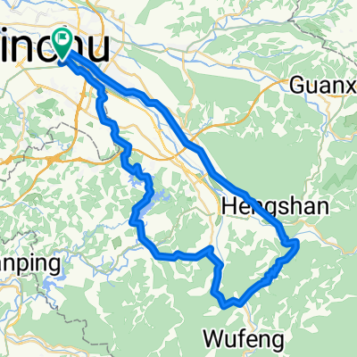
新竹到大甲
A cycling route starting in Zhubei, Taiwan, Taiwan.
Overview
About this route
- -:--
- Duration
- 78.4 km
- Distance
- 206 m
- Ascent
- 178 m
- Descent
- ---
- Avg. speed
- ---
- Avg. speed
Route quality
Waytypes & surfaces along the route
Waytypes
Busy road
37.2 km
(48 %)
Road
25.5 km
(33 %)
Surfaces
Paved
16.4 km
(21 %)
Asphalt
16.4 km
(21 %)
Undefined
62 km
(79 %)
Continue with Bikemap
Use, edit, or download this cycling route
You would like to ride 新竹到大甲 or customize it for your own trip? Here is what you can do with this Bikemap route:
Free features
- Save this route as favorite or in collections
- Copy & plan your own version of this route
- Sync your route with Garmin or Wahoo
Premium features
Free trial for 3 days, or one-time payment. More about Bikemap Premium.
- Navigate this route on iOS & Android
- Export a GPX / KML file of this route
- Create your custom printout (try it for free)
- Download this route for offline navigation
Discover more Premium features.
Get Bikemap PremiumFrom our community
Other popular routes starting in Zhubei
 湖口後山停車場
- Distance
- 14.3 km
- Ascent
- 489 m
- Descent
- 217 m
- Location
- Zhubei, Taiwan, Taiwan
 新竹新埔、芎林,田園路線
- Distance
- 24.2 km
- Ascent
- 148 m
- Descent
- 149 m
- Location
- Zhubei, Taiwan, Taiwan
 中等路線 竹北市夜騎路線
- Distance
- 23.2 km
- Ascent
- 187 m
- Descent
- 183 m
- Location
- Zhubei, Taiwan, Taiwan
 FormFactor Cycling Taiwan Plan
- Distance
- 930.1 km
- Ascent
- 1,919 m
- Descent
- 1,918 m
- Location
- Zhubei, Taiwan, Taiwan
 Never stop 永不放棄-西濱極限挑戰400K
- Distance
- 392.1 km
- Ascent
- 526 m
- Descent
- 526 m
- Location
- Zhubei, Taiwan, Taiwan
 2009 Lander單車環島行
- Distance
- 1,065.2 km
- Ascent
- 1,602 m
- Descent
- 1,604 m
- Location
- Zhubei, Taiwan, Taiwan
 2009/12/19 大山背/北埔/寶一二水庫
- Distance
- 64.2 km
- Ascent
- 1,244 m
- Descent
- 1,179 m
- Location
- Zhubei, Taiwan, Taiwan
 自強北路190號, 新竹縣 to 成功八路339號–385號, 竹北市
- Distance
- 42.3 km
- Ascent
- 474 m
- Descent
- 473 m
- Location
- Zhubei, Taiwan, Taiwan
Open it in the app