Cycling Route in Toledo, Castille-La Mancha, Spain
Guadamur
1
Open this route in the Bikemap app

Open this route in Bikemap Web
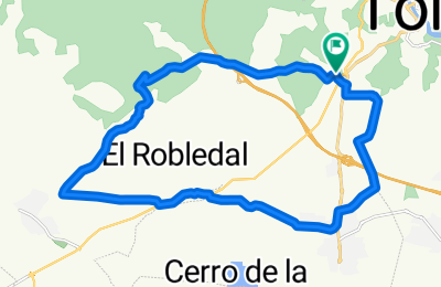
23
km
Distance
Distance
311
m
Ascent
Ascent
311
m
Descent
Descent
-:--
h
Duration
Duration
--
km/h
Avg. Speed
Avg. Speed
---
m
Max. Elevation
Max. Elevation


