
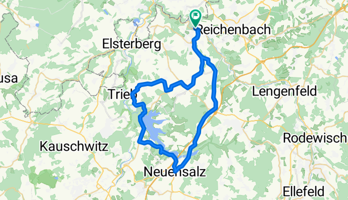
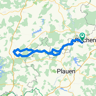
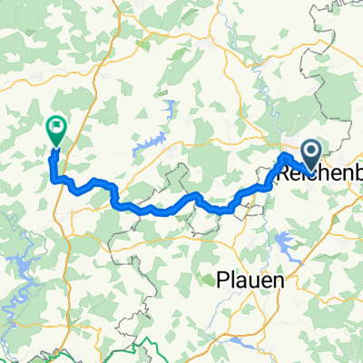
Mylau-Pöhl
A cycling route starting in Netzschkau, Saxony, Germany.
Overview
About this route
Viel Spaß beim Fahrrad fahren.
- -:--
- Duration
- 42.8 km
- Distance
- 438 m
- Ascent
- 438 m
- Descent
- ---
- Avg. speed
- ---
- Avg. speed
Route quality
Waytypes & surfaces along the route
Waytypes
Busy road
18.1 km
(42 %)
Track
6.8 km
(16 %)
Surfaces
Paved
20.5 km
(48 %)
Unpaved
5.2 km
(12 %)
Asphalt
19.9 km
(47 %)
Ground
3.9 km
(9 %)
Continue with Bikemap
Use, edit, or download this cycling route
You would like to ride Mylau-Pöhl or customize it for your own trip? Here is what you can do with this Bikemap route:
Free features
- Save this route as favorite or in collections
- Copy & plan your own version of this route
- Sync your route with Garmin or Wahoo
Premium features
Free trial for 3 days, or one-time payment. More about Bikemap Premium.
- Navigate this route on iOS & Android
- Export a GPX / KML file of this route
- Create your custom printout (try it for free)
- Download this route for offline navigation
Discover more Premium features.
Get Bikemap PremiumFrom our community
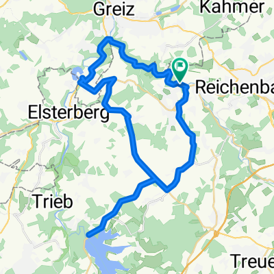
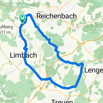
Other popular routes starting in Netzschkau
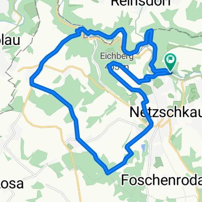 Mountainbike tag 1
- Distance
- 16.4 km
- Ascent
- 297 m
- Descent
- 297 m
- Location
- Netzschkau, Saxony, Germany
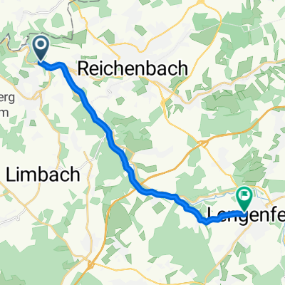 Brückenstraße, Netzschkau nach Weststraße 24, Lengenfeld
- Distance
- 11.9 km
- Ascent
- 198 m
- Descent
- 45 m
- Location
- Netzschkau, Saxony, Germany
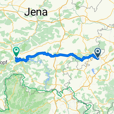 Göltzschtal-Saalfeld
- Distance
- 90.9 km
- Ascent
- 857 m
- Descent
- 919 m
- Location
- Netzschkau, Saxony, Germany
 Netzschkau-Schleiz und zurück
- Distance
- 85.3 km
- Ascent
- 679 m
- Descent
- 679 m
- Location
- Netzschkau, Saxony, Germany
 kleine Kuh Bergrunde
- Distance
- 36.1 km
- Ascent
- 377 m
- Descent
- 374 m
- Location
- Netzschkau, Saxony, Germany
 Kleine Runde
- Distance
- 23.7 km
- Ascent
- 381 m
- Descent
- 381 m
- Location
- Netzschkau, Saxony, Germany
 Brückenstraße 7, Netzschkau nach Jägerhaus, Reichenbach im Vogtland
- Distance
- 6.5 km
- Ascent
- 110 m
- Descent
- 71 m
- Location
- Netzschkau, Saxony, Germany
 Greiz Rückweg
- Distance
- 53.3 km
- Ascent
- 509 m
- Descent
- 331 m
- Location
- Netzschkau, Saxony, Germany
Open it in the app