

München-Freimann - Vaterstetten und zurück CLONED FROM ROUTE 462796
A cycling route starting in Unterföhring, Bavaria, Germany.
Overview
About this route
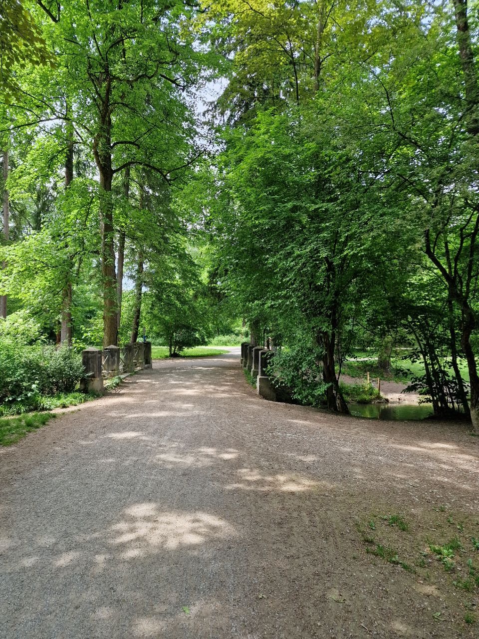
Teilweise auf befestigten Wegen teilweise auf Feldwegen geht es östlich von München nach Vaterstetten.
Eine gute Einkehrmöglichkeit ist die Wirtschaft "Zum Altschütz" direkt zwischen Feuerwehrhaus und Sportgelände.
Die Spareribs sind die Spezialität des Hauses und nach einer Radtour genau das richtige um die verbrauchten Kalorien wieder aufzufüllen.
- -:--
- Duration
- 56.3 km
- Distance
- 82 m
- Ascent
- 82 m
- Descent
- ---
- Avg. speed
- ---
- Avg. speed
Route quality
Waytypes & surfaces along the route
Waytypes
Quiet road
14.8 km
(26 %)
Track
13.7 km
(24 %)
Surfaces
Paved
39.9 km
(71 %)
Unpaved
14.5 km
(26 %)
Asphalt
37 km
(66 %)
Gravel
9.5 km
(17 %)
Continue with Bikemap
Use, edit, or download this cycling route
You would like to ride München-Freimann - Vaterstetten und zurück CLONED FROM ROUTE 462796 or customize it for your own trip? Here is what you can do with this Bikemap route:
Free features
- Save this route as favorite or in collections
- Copy & plan your own version of this route
- Sync your route with Garmin or Wahoo
Premium features
Free trial for 3 days, or one-time payment. More about Bikemap Premium.
- Navigate this route on iOS & Android
- Export a GPX / KML file of this route
- Create your custom printout (try it for free)
- Download this route for offline navigation
Discover more Premium features.
Get Bikemap PremiumFrom our community
Other popular routes starting in Unterföhring
 Sebis Tipp: Von Johanneskirchen nach Moosach
- Distance
- 11.6 km
- Ascent
- 29 m
- Descent
- 38 m
- Location
- Unterföhring, Bavaria, Germany
 Isarradweg
- Distance
- 19.6 km
- Ascent
- 63 m
- Descent
- 113 m
- Location
- Unterföhring, Bavaria, Germany
 München (City-Parktour 3)
- Distance
- 34.9 km
- Ascent
- 54 m
- Descent
- 54 m
- Location
- Unterföhring, Bavaria, Germany
 Speichersee Runde
- Distance
- 42.8 km
- Ascent
- 45 m
- Descent
- 57 m
- Location
- Unterföhring, Bavaria, Germany
 Ingolstädter Straße, München nach Infanteriestraße 15, München
- Distance
- 6.4 km
- Ascent
- 27 m
- Descent
- 14 m
- Location
- Unterföhring, Bavaria, Germany
 Freimann - Grünwald - Freimann
- Distance
- 46.7 km
- Ascent
- 146 m
- Descent
- 145 m
- Location
- Unterföhring, Bavaria, Germany
 Teststrecke nach Starnberg
- Distance
- 33.1 km
- Ascent
- 167 m
- Descent
- 77 m
- Location
- Unterföhring, Bavaria, Germany
 Unterföhring - Aschheim - Kirchheim - Fischweiher - Ismaning - Garching - Freimann - Unterföhring
- Distance
- 33.8 km
- Ascent
- 35 m
- Descent
- 37 m
- Location
- Unterföhring, Bavaria, Germany
Open it in the app