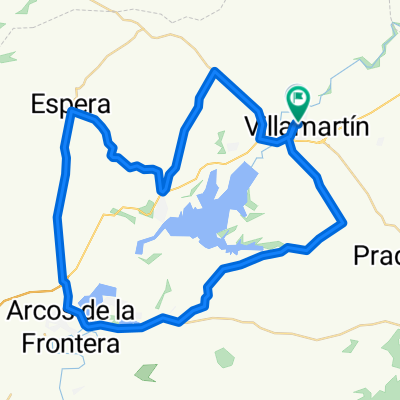
Premium Badge Download on the App Store Get it on Google Play Turn-by-turn Navigation Offline Maps Bike Type Optimized Routing Premium Maps Custom Bike Computer Export Routes Route Previews Fall Detection Premium Support

Cycling Route in VillamartĂ­n, Andalusia, Spain

VILLAMARTIN-EL BOYAR-GRAZALEMA-ZAHARA-LAS PALOMAS EL BOYAR-VILLAMARTIN

0
Open this route in the Bikemap app

Open this route in the Bikemap app

Open this route in Bikemap Web

Open this route in Bikemap Web

116 km
Distance
2082 m
Ascent
2082 m
Descent
-:-- h
Duration
-- km/h
Avg. Speed
--- m
Max. Elevation

About This Route

El primer puerto de montañla es el boyar y la subida se hace desde el bosque. Bajamos al pueblo de grazalema y continuamos bajando por la rivera para llegar al pantano de zahara y rodearlo por su margen izquierdo. Poco antes de llegar a zahara se inicia la subida al segundo puero de montaña: Las palomas. Bajamos al cruce de Grazalema-Zahara-El Bosque y subimos el Boyarín para llegar de nuevo a El Boyar. Descendemos hasta El Bosque y retornamos a Villamartín 

This cycling route is ideal for: Road bike

You will cycle on the following surfaces: Paved

Customize this cycling route with the Bikemap route planner.

Make it yours!

Did you know? You can use this route as a template in our cycling route planner if you don't wish to start from scratch. Customize it based on your needs to plan your perfect cycling tour.

Open it in the app