Premium Badge Download on the App Store Get it on Google Play Turn-by-turn Navigation Offline Maps Bike Type Optimized Routing Premium Maps Custom Bike Computer Export Routes Route Previews Fall Detection Premium Support

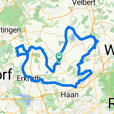
Cycling Route in Mettmann, North Rhine-Westphalia, Germany

65km/1250Hm östlich v. Mettmann

0
Open this route in the Bikemap app

Open this route in the Bikemap app

Open this route in Bikemap Web

Open this route in Bikemap Web

62 km
Distance
779 m
Ascent
779 m
Descent
-:-- h
Duration
-- km/h
Avg. Speed
--- m
Max. Elevation

About This Route

Die Tour führt von Mettmann auf kleineren Landstrassen in die hügelige Gegend nördlich von Wuppertal und südlich vom Ruhrgebiet. Es geht überwiegend auf kleinen Landstrassen durch wenig besiedelte Gegenden. Gennant seien das schöne Deilbachtal und die Elfringhauser Schweiz.

Ordentliche Anstiege erwarten Euch auf der L107 Horather Strasse (bis 12%), in Langenberg auf der K30 (bis 16% landschaftlich der Knaller) und im Felderbachtal "In der Espe" (bis 19%). Es summieren sich 1250Hm.

Strassenzustand zum Teil schlecht. Reifenempfehlung ab 23-622.

This cycling route is ideal for: Road bike

You will cycle on the following surfaces: Paved

Customize this cycling route with the Bikemap route planner.

Make it yours!

Did you know? You can use this route as a template in our cycling route planner if you don't wish to start from scratch. Customize it based on your needs to plan your perfect cycling tour.

Open it in the app