

Zum Deichbrand Festival Gelände nach Wanhöden
A cycling route starting in Wanna, Lower Saxony, Germany.
Overview
About this route
- 1 h 45 min
- Duration
- 29.2 km
- Distance
- 77 m
- Ascent
- 80 m
- Descent
- 16.6 km/h
- Avg. speed
- 26 m
- Max. altitude
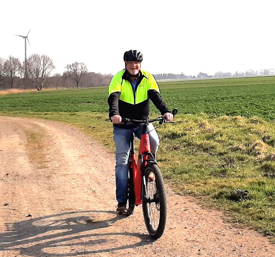
Route photos


Route quality
Waytypes & surfaces along the route
Waytypes
Quiet road
19.9 km
(68 %)
Road
6.7 km
(23 %)
Surfaces
Paved
9.1 km
(31 %)
Unpaved
1 km
(3 %)
Asphalt
8.4 km
(29 %)
Paved (undefined)
0.8 km
(3 %)
Continue with Bikemap
Use, edit, or download this cycling route
You would like to ride Zum Deichbrand Festival Gelände nach Wanhöden or customize it for your own trip? Here is what you can do with this Bikemap route:
Free features
- Save this route as favorite or in collections
- Copy & plan your own version of this route
- Sync your route with Garmin or Wahoo
Premium features
Free trial for 3 days, or one-time payment. More about Bikemap Premium.
- Navigate this route on iOS & Android
- Export a GPX / KML file of this route
- Create your custom printout (try it for free)
- Download this route for offline navigation
Discover more Premium features.
Get Bikemap PremiumFrom our community
Other popular routes starting in Wanna
 Nordleda, Altenwalde, Cuxhaven, Altenbruch, Otterndorf, Nordleda
- Distance
- 51.4 km
- Ascent
- 20 m
- Descent
- 18 m
- Location
- Wanna, Lower Saxony, Germany
 Feierabendtour über Feuerstätte
- Distance
- 22.2 km
- Ascent
- 26 m
- Descent
- 25 m
- Location
- Wanna, Lower Saxony, Germany
 Wanna Seerundweg 27 km
- Distance
- 26.9 km
- Ascent
- 60 m
- Descent
- 60 m
- Location
- Wanna, Lower Saxony, Germany
 Vorderstraße 10, Wanna nach Wanhödener Straße 203, Wurster Nordseeküste
- Distance
- 10.1 km
- Ascent
- 22 m
- Descent
- 13 m
- Location
- Wanna, Lower Saxony, Germany
 Arbeitsweg Nordleda-Hemmoor
- Distance
- 61.8 km
- Ascent
- 69 m
- Descent
- 75 m
- Location
- Wanna, Lower Saxony, Germany
 Nordleda - Wanna - Flögeln - Ihlienworth - Wanna - Nordleda
- Distance
- 39.3 km
- Ascent
- 33 m
- Descent
- 33 m
- Location
- Wanna, Lower Saxony, Germany
- Zum Deichbrand Festival Gelände nach Wanhöden
- Distance
- 29.2 km
- Ascent
- 77 m
- Descent
- 80 m
- Location
- Wanna, Lower Saxony, Germany
 Nordleda, Altenwalde, Wanhöden, Nordleda
- Distance
- 37.5 km
- Ascent
- 64 m
- Descent
- 66 m
- Location
- Wanna, Lower Saxony, Germany
Open it in the app