Cycling Route in Golden Valley, Minnesota, United States of America
Theo Wirth Area MTB Trails
2

Open this route in the Bikemap app

Open this route in Bikemap Web
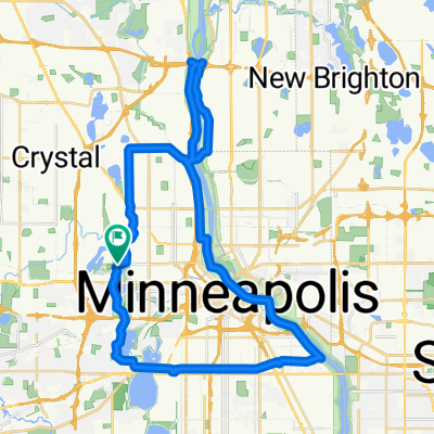
15
km
Distance
Distance
81
m
Ascent
Ascent
93
m
Descent
Descent
-:--
h
Duration
Duration
--
km/h
Avg. Speed
Avg. Speed
---
m
Max. Elevation
Max. Elevation