Cycling Route in Podgórzyn, Lower Silesian Voivodeship, Poland
Karkonosze dzień 2.
0

Open this route in the Bikemap app

Open this route in Bikemap Web
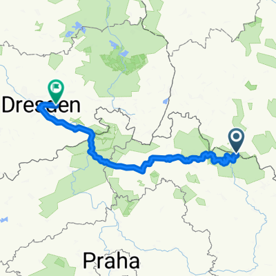
85
km
Distance
Distance
1760
m
Ascent
Ascent
1767
m
Descent
Descent
-:--
h
Duration
Duration
--
km/h
Avg. Speed
Avg. Speed
---
m
Max. Elevation
Max. Elevation