Cycling Route in Nižná, Žilinský kraj, Slovak Republic
Tatra loop
0

Open this route in the Bikemap app

Open this route in Bikemap Web
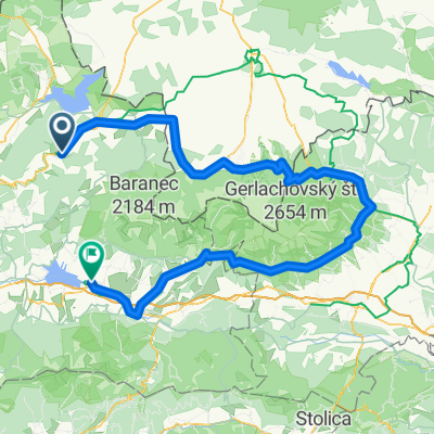
209
km
Distance
Distance
2440
m
Ascent
Ascent
2438
m
Descent
Descent
-:--
h
Duration
Duration
--
km/h
Avg. Speed
Avg. Speed
---
m
Max. Elevation
Max. Elevation