
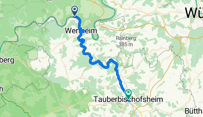
Vom Main zur Tauber
A cycling route starting in Hasloch, Bavaria, Germany.
Overview
About this route
Vom Main ins schöne Taubertal. Parkplatz am Sportplatz in Hasloch oder direkt am Startpunkt
- 2 h 12 min
- Duration
- 34.4 km
- Distance
- 831 m
- Ascent
- 786 m
- Descent
- 15.7 km/h
- Avg. speed
- 243 m
- Avg. speed

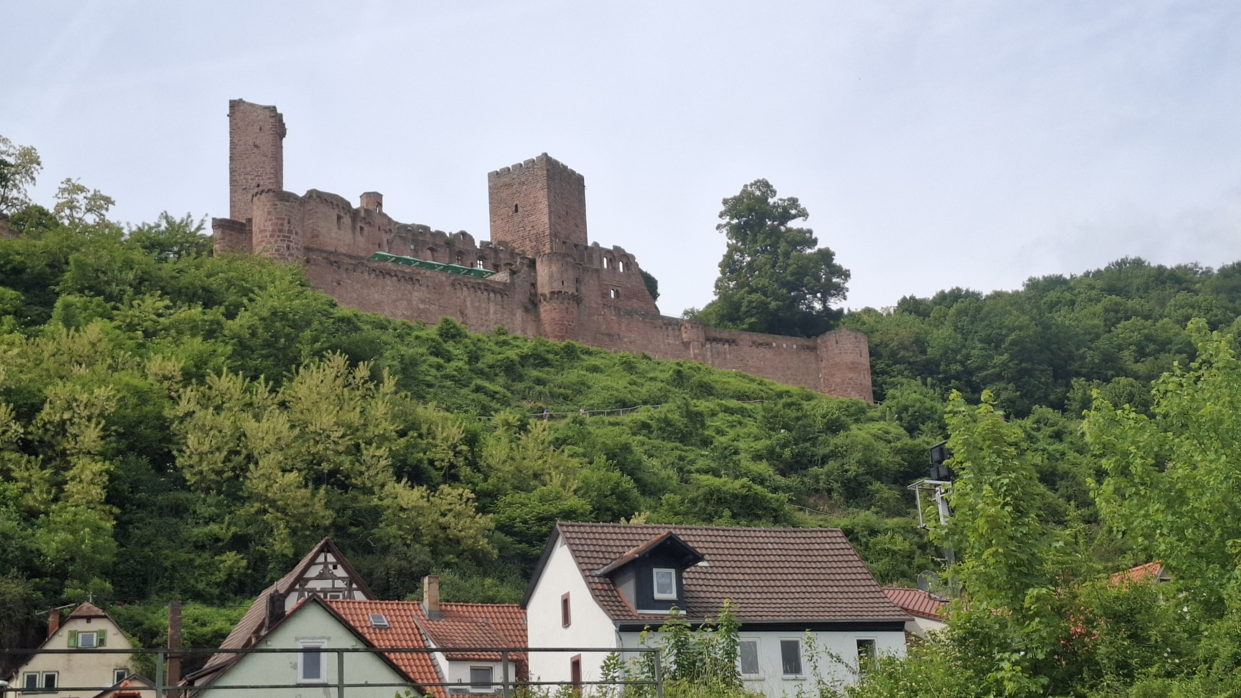
Route photos


Route quality
Waytypes & surfaces along the route
Waytypes
Track
18.9 km
(55 %)
Quiet road
8.4 km
(25 %)
Surfaces
Paved
33.7 km
(98 %)
Asphalt
28.1 km
(82 %)
Paved (undefined)
5.6 km
(16 %)
Undefined
0.7 km
(2 %)
Continue with Bikemap
Use, edit, or download this cycling route
You would like to ride Vom Main zur Tauber or customize it for your own trip? Here is what you can do with this Bikemap route:
Free features
- Save this route as favorite or in collections
- Copy & plan your own version of this route
- Sync your route with Garmin or Wahoo
Premium features
Free trial for 3 days, or one-time payment. More about Bikemap Premium.
- Navigate this route on iOS & Android
- Export a GPX / KML file of this route
- Create your custom printout (try it for free)
- Download this route for offline navigation
Discover more Premium features.
Get Bikemap PremiumFrom our community
Other popular routes starting in Hasloch
- Vom Main zur Tauber
- Distance
- 34.4 km
- Ascent
- 831 m
- Descent
- 786 m
- Location
- Hasloch, Bavaria, Germany
 Wertheimrunde
- Distance
- 57.4 km
- Ascent
- 758 m
- Descent
- 761 m
- Location
- Hasloch, Bavaria, Germany
 Tauber-Erfa-Main Radweg
- Distance
- 103.5 km
- Ascent
- 575 m
- Descent
- 576 m
- Location
- Hasloch, Bavaria, Germany
 Nürnberg - Koblenz Etappe 8/13
- Distance
- 48.3 km
- Ascent
- 172 m
- Descent
- 194 m
- Location
- Hasloch, Bavaria, Germany
 Bestenheid-Tauberbischofsheim-Bestenheid
- Distance
- 71.2 km
- Ascent
- 1,448 m
- Descent
- 1,466 m
- Location
- Hasloch, Bavaria, Germany
 Main und Tauber
- Distance
- 33.3 km
- Ascent
- 371 m
- Descent
- 333 m
- Location
- Hasloch, Bavaria, Germany
 Bestenheid - Wertheim - Bestenheid
- Distance
- 11.4 km
- Ascent
- 120 m
- Descent
- 120 m
- Location
- Hasloch, Bavaria, Germany
 Bestenheid-Lohr a.M.-Bestenheid
- Distance
- 96 km
- Ascent
- 1,016 m
- Descent
- 1,016 m
- Location
- Hasloch, Bavaria, Germany