

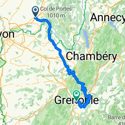
Saint-Vulbas to Route de Chavanoz
A cycling route starting in Chazey-sur-Ain, Auvergne-Rhône-Alpes, France.
Overview
About this route
- 58 min
- Duration
- 17 km
- Distance
- 23 m
- Ascent
- 39 m
- Descent
- 17.7 km/h
- Avg. speed
- 214 m
- Avg. speed

Route quality
Waytypes & surfaces along the route
Waytypes
Cycleway
8.2 km
(48 %)
Quiet road
4.6 km
(27 %)
Surfaces
Paved
8.1 km
(48 %)
Unpaved
5 km
(29 %)
Asphalt
8.1 km
(48 %)
Loose gravel
4.8 km
(28 %)
Continue with Bikemap
Use, edit, or download this cycling route
You would like to ride Saint-Vulbas to Route de Chavanoz or customize it for your own trip? Here is what you can do with this Bikemap route:
Free features
- Save this route as favorite or in collections
- Copy & plan your own version of this route
- Sync your route with Garmin or Wahoo
Premium features
Free trial for 3 days, or one-time payment. More about Bikemap Premium.
- Navigate this route on iOS & Android
- Export a GPX / KML file of this route
- Create your custom printout (try it for free)
- Download this route for offline navigation
Discover more Premium features.
Get Bikemap PremiumFrom our community
Other popular routes starting in Chazey-sur-Ain
 91 Impasse du Château, Sainte-Julie to 238B Rue des Rondes, Pérouges
- Distance
- 10.4 km
- Ascent
- 107 m
- Descent
- 61 m
- Location
- Chazey-sur-Ain, Auvergne-Rhône-Alpes, France
 Dauphine 6
- Distance
- 225.5 km
- Ascent
- 2,347 m
- Descent
- 1,852 m
- Location
- Chazey-sur-Ain, Auvergne-Rhône-Alpes, France
 Tour de France 1 Perouges - Grenoble
- Distance
- 187.9 km
- Ascent
- 2,855 m
- Descent
- 2,851 m
- Location
- Chazey-sur-Ain, Auvergne-Rhône-Alpes, France
 7a_Saint-Vulbas to Chasse-sur-Rhône
- Distance
- 102.3 km
- Ascent
- 415 m
- Descent
- 470 m
- Location
- Chazey-sur-Ain, Auvergne-Rhône-Alpes, France
 EU 31 _ Saint Vulbas - Belley _ 90 km
- Distance
- 91.3 km
- Ascent
- 251 m
- Descent
- 188 m
- Location
- Chazey-sur-Ain, Auvergne-Rhône-Alpes, France
 Saint- Julie to Lyon
- Distance
- 45.6 km
- Ascent
- 82 m
- Descent
- 137 m
- Location
- Chazey-sur-Ain, Auvergne-Rhône-Alpes, France
 Etape 13 Rigneu le désert Ordonnaz
- Distance
- 34.1 km
- Ascent
- 724 m
- Descent
- 112 m
- Location
- Chazey-sur-Ain, Auvergne-Rhône-Alpes, France
 Saint-Vulbas to Route de Chavanoz
- Distance
- 17 km
- Ascent
- 23 m
- Descent
- 39 m
- Location
- Chazey-sur-Ain, Auvergne-Rhône-Alpes, France
Open it in the app