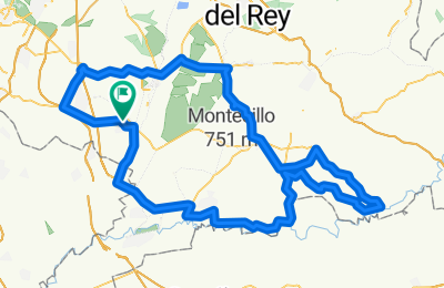
Cycling Route in Ciempozuelos, Madrid, Spain
8-Julio-12 ETAPA-19 A.C.C.
0
Open this route in the Bikemap app

Open this route in Bikemap Web
130
km
Distance
Distance
871
m
Ascent
Ascent
867
m
Descent
Descent
-:--
h
Duration
Duration
--
km/h
Avg. Speed
Avg. Speed
---
m
Max. Elevation
Max. Elevation


