

동탄-신대호수-광교호수
A cycling route starting in Osan, Gyeonggi-do, Republic of Korea.
Overview
About this route
- 1 h 46 min
- Duration
- 25.3 km
- Distance
- 155 m
- Ascent
- 178 m
- Descent
- 14.3 km/h
- Avg. speed
- 64 m
- Avg. speed

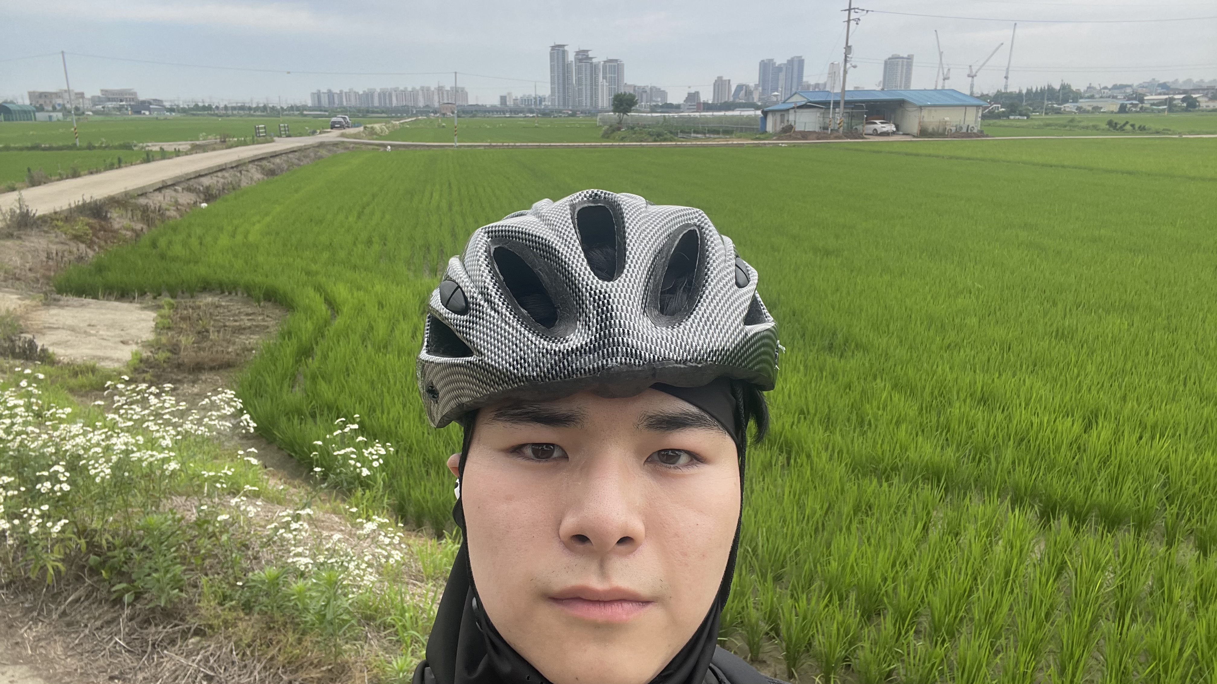
Route photos

Continue with Bikemap
Use, edit, or download this cycling route
You would like to ride 동탄-신대호수-광교호수 or customize it for your own trip? Here is what you can do with this Bikemap route:
Free features
- Save this route as favorite or in collections
- Copy & plan your own version of this route
- Sync your route with Garmin or Wahoo
Premium features
Free trial for 3 days, or one-time payment. More about Bikemap Premium.
- Navigate this route on iOS & Android
- Export a GPX / KML file of this route
- Create your custom printout (try it for free)
- Download this route for offline navigation
Discover more Premium features.
Get Bikemap PremiumFrom our community
Other popular routes starting in Osan
 해창리, 평택시 to 합정동, 평택시
- Distance
- 13.5 km
- Ascent
- 37 m
- Descent
- 45 m
- Location
- Osan, Gyeonggi-do, Republic of Korea
 Pyeongtaek-si to 619 Jangan-dong, Pyeongtaek-si
- Distance
- 64 km
- Ascent
- 497 m
- Descent
- 491 m
- Location
- Osan, Gyeonggi-do, Republic of Korea
 동탄면 5−1, 화성시 to 동탄면 4−5, 화성시
- Distance
- 16.2 km
- Ascent
- 185 m
- Descent
- 127 m
- Location
- Osan, Gyeonggi-do, Republic of Korea
- 동탄-신대호수-광교호수
- Distance
- 25.3 km
- Ascent
- 155 m
- Descent
- 178 m
- Location
- Osan, Gyeonggi-do, Republic of Korea
 장안동, 평택시 to 623, 장안동, 평택시
- Distance
- 15 km
- Ascent
- 158 m
- Descent
- 178 m
- Location
- Osan, Gyeonggi-do, Republic of Korea
 Route to 동탄면 4−6, 화성시
- Distance
- 7.8 km
- Ascent
- 55 m
- Descent
- 34 m
- Location
- Osan, Gyeonggi-do, Republic of Korea
 송탄동 307−7, 평택시 to 송탄동 307−7, 평택시
- Distance
- 23 km
- Ascent
- 236 m
- Descent
- 250 m
- Location
- Osan, Gyeonggi-do, Republic of Korea
 From Songtan to the lake and back.
- Distance
- 32.5 km
- Ascent
- 60 m
- Descent
- 60 m
- Location
- Osan, Gyeonggi-do, Republic of Korea
Open it in the app