
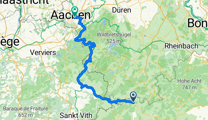
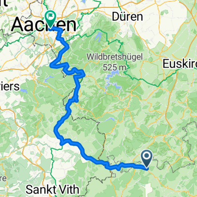
Vennbahn/Vennquerbahn ab Jünkerath (BF) bis Aachen/Rothe Erde (BF)
A cycling route starting in Schüller, Rhineland-Palatinate, Germany.
Overview
About this route
Eine sehr schöne und einfache Radtour auf ehemaligen Eisenbahntrassen ohne große Steigungen mit einem Abstecher nach Monschau. Anfang und Ende sind gut mit Regionalzügen vin Köln aus zu erreichen. Gut zu Fahren, sehr ruhige Streckenführung, nur im deutschen Abschnitt zwei gefährliche Querungen von Bundesstraßen.
- 6 h 7 min
- Duration
- 110.5 km
- Distance
- 893 m
- Ascent
- 1,151 m
- Descent
- 18.1 km/h
- Avg. speed
- 646 m
- Avg. speed

Route quality
Waytypes & surfaces along the route
Waytypes
Path
61.4 km
(56 %)
Cycleway
43.4 km
(39 %)
Surfaces
Paved
106.3 km
(96 %)
Unpaved
0.6 km
(<1 %)
Asphalt
105.9 km
(96 %)
Gravel
0.4 km
(<1 %)
Continue with Bikemap
Use, edit, or download this cycling route
You would like to ride Vennbahn/Vennquerbahn ab Jünkerath (BF) bis Aachen/Rothe Erde (BF) or customize it for your own trip? Here is what you can do with this Bikemap route:
Free features
- Save this route as favorite or in collections
- Copy & plan your own version of this route
- Sync your route with Garmin or Wahoo
Premium features
Free trial for 3 days, or one-time payment. More about Bikemap Premium.
- Navigate this route on iOS & Android
- Export a GPX / KML file of this route
- Create your custom printout (try it for free)
- Download this route for offline navigation
Discover more Premium features.
Get Bikemap PremiumFrom our community
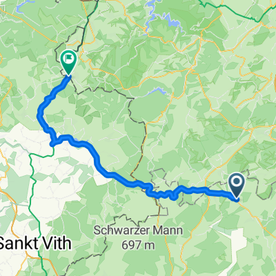
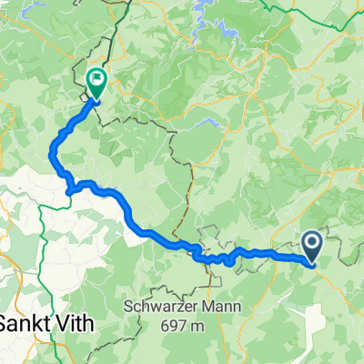
Other popular routes starting in Schüller
 Jünkerath Kalterherberg
- Distance
- 52.5 km
- Ascent
- 541 m
- Descent
- 464 m
- Location
- Schüller, Rhineland-Palatinate, Germany
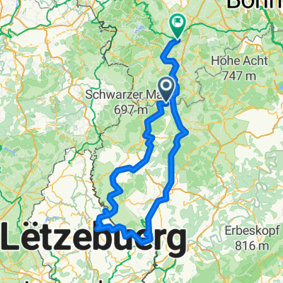 Jünkerath Diekirch Gerolstein
- Distance
- 272.3 km
- Ascent
- 4,374 m
- Descent
- 4,509 m
- Location
- Jünkerath, Rhineland-Palatinate, Germany
 Von Jünkerath bis Monschau
- Distance
- 53.9 km
- Ascent
- 588 m
- Descent
- 471 m
- Location
- Schüller, Rhineland-Palatinate, Germany
 Vennbahn/Vennquerbahn ab Jünkerath (BF) bis Aachen/Rothe Erde (BF)
- Distance
- 110.5 km
- Ascent
- 893 m
- Descent
- 1,151 m
- Location
- Schüller, Rhineland-Palatinate, Germany
Open it in the app