Cycling Route in San Martín de los Andes, Neuquén Province, Argentina
Doble cruce de los andes, Hua Hum-Carririñe
5

Open this route in the Bikemap app

Open this route in Bikemap Web
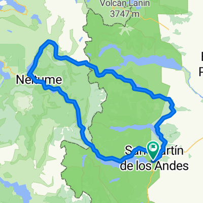
215
km
Distance
Distance
3066
m
Ascent
Ascent
3282
m
Descent
Descent
-:--
h
Duration
Duration
--
km/h
Avg. Speed
Avg. Speed
---
m
Max. Elevation
Max. Elevation