

MTB & hiking
A cycling route starting in Nereju, Vrancea, Romania.
Overview
About this route
tura de doua zile, mix MTB & hiking
- -:--
- Duration
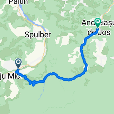
- 115.7 km
- Distance
- 1,822 m
- Ascent
- 1,827 m
- Descent
- ---
- Avg. speed
- ---
- Avg. speed

Route quality
Waytypes & surfaces along the route
Waytypes
Undefined
115.7 km
(100 %)
Surfaces
Undefined
115.7 km
(100 %)
Continue with Bikemap
Use, edit, or download this cycling route
You would like to ride MTB & hiking or customize it for your own trip? Here is what you can do with this Bikemap route:
Free features
- Save this route as favorite or in collections
- Copy & plan your own version of this route
- Sync your route with Garmin or Wahoo
Premium features
Free trial for 3 days, or one-time payment. More about Bikemap Premium.
- Navigate this route on iOS & Android
- Export a GPX / KML file of this route
- Create your custom printout (try it for free)
- Download this route for offline navigation
Discover more Premium features.
Get Bikemap PremiumFrom our community
Other popular routes starting in Nereju
 RutaNereju2
- Distance
- 15.9 km
- Ascent
- 136 m
- Descent
- 306 m
- Location
- Nereju, Vrancea, Romania
 Nereju/Campineanca
- Distance
- 83.5 km
- Ascent
- 287 m
- Descent
- 756 m
- Location
- Nereju, Vrancea, Romania
 Nereju - Andreiasu de Jos
- Distance
- 17.1 km
- Ascent
- 243 m
- Descent
- 422 m
- Location
- Nereju, Vrancea, Romania
 Day7
Day7- Distance
- 85.4 km
- Ascent
- 1,058 m
- Descent
- 1,057 m
- Location
- Nereju, Vrancea, Romania
 Black Lake and Giurgiu Chalets
- Distance
- 84.5 km
- Ascent
- 1,036 m
- Descent
- 1,037 m
- Location
- Nereju, Vrancea, Romania
 MTB & hiking
- Distance
- 115.7 km
- Ascent
- 1,822 m
- Descent
- 1,827 m
- Location
- Nereju, Vrancea, Romania
 la margine de codru verde
- Distance
- 73.3 km
- Ascent
- 1,476 m
- Descent
- 1,473 m
- Location
- Nereju, Vrancea, Romania
 RutaNereju
- Distance
- 26.2 km
- Ascent
- 543 m
- Descent
- 597 m
- Location
- Nereju, Vrancea, Romania