Premium Badge Download on the App Store Get it on Google Play Turn-by-turn Navigation Offline Maps Bike Type Optimized Routing Premium Maps Custom Bike Computer Export Routes Route Previews Fall Detection Premium Support

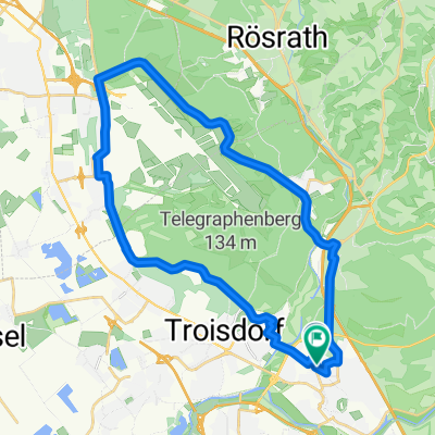
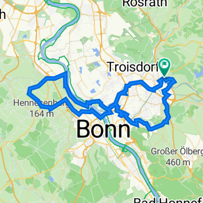
Cycling Route in Siegburg, North Rhine-Westphalia, Germany

Training 14.08.12 17.30- 20.15

0
Open this route in the Bikemap app

Open this route in the Bikemap app

Open this route in Bikemap Web

Open this route in Bikemap Web

71 km
Distance
390 m
Ascent
390 m
Descent
-:-- h
Duration
-- km/h
Avg. Speed
--- m
Max. Elevation

About This Route

Zwei Anstiege, Wellige Straße nach Anstieg am Kreuznaaf nach Marialinden

Anschließend abfallendes Tal

Von Much aus übers Wahnbachtal Richtung Jabachtal und dann runter bis Lohmar.

This cycling route is ideal for: Road bike

You will cycle on the following surfaces: Paved

Customize this cycling route with the Bikemap route planner.

Make it yours!

Did you know? You can use this route as a template in our cycling route planner if you don't wish to start from scratch. Customize it based on your needs to plan your perfect cycling tour.

Open it in the app